Transport Functions
Rail
Road
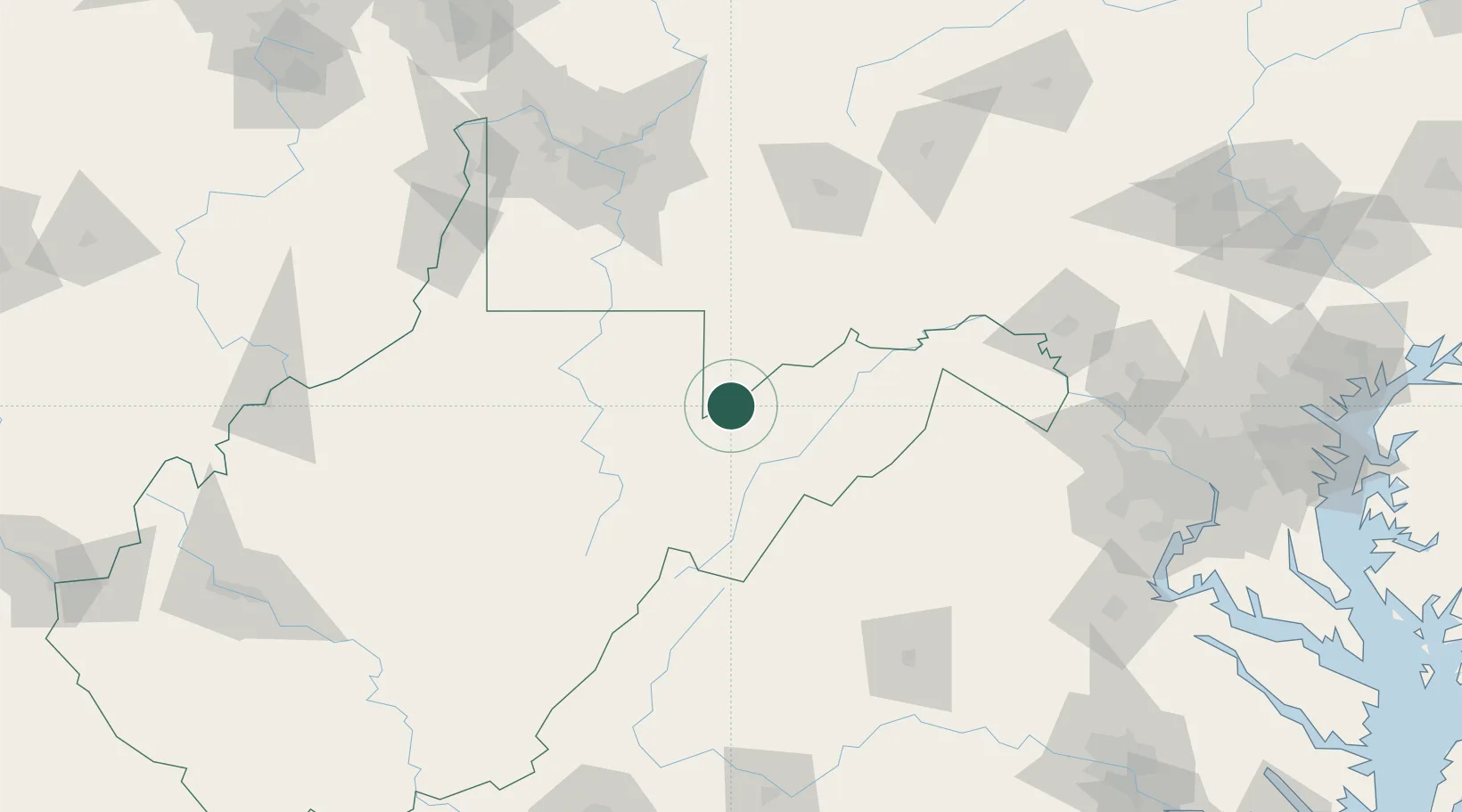
Hub Profile
Place type
Populated place
Region
West Virginia
Population
276
Time zone
America/New_York
Elevation
714 m
Location
Nearby Logistics Neighbours
Cities
- 1Deer Park17 km
- 2Thomas18 km
- 3Keyser38 km
- 4Moorefield41 km
- 5Friendsville43 km
Ports
- 1Fredericksburg197 km
- 2Washington D.C.205 km
- 3Alexandria207 km
- 4Baltimore238 km
- 5Annapolis249 km
Airports
Trade Zones
DatabookThe Record of Consolidated Knowledge
United States beyond logistics?