Transport Functions
Rail
Road
Multimodal
Hub Profile
Place type
Provincial seat
Region
Indiana
Population
3,629
Time zone
America/Indiana/Indianapolis
Elevation
190 m
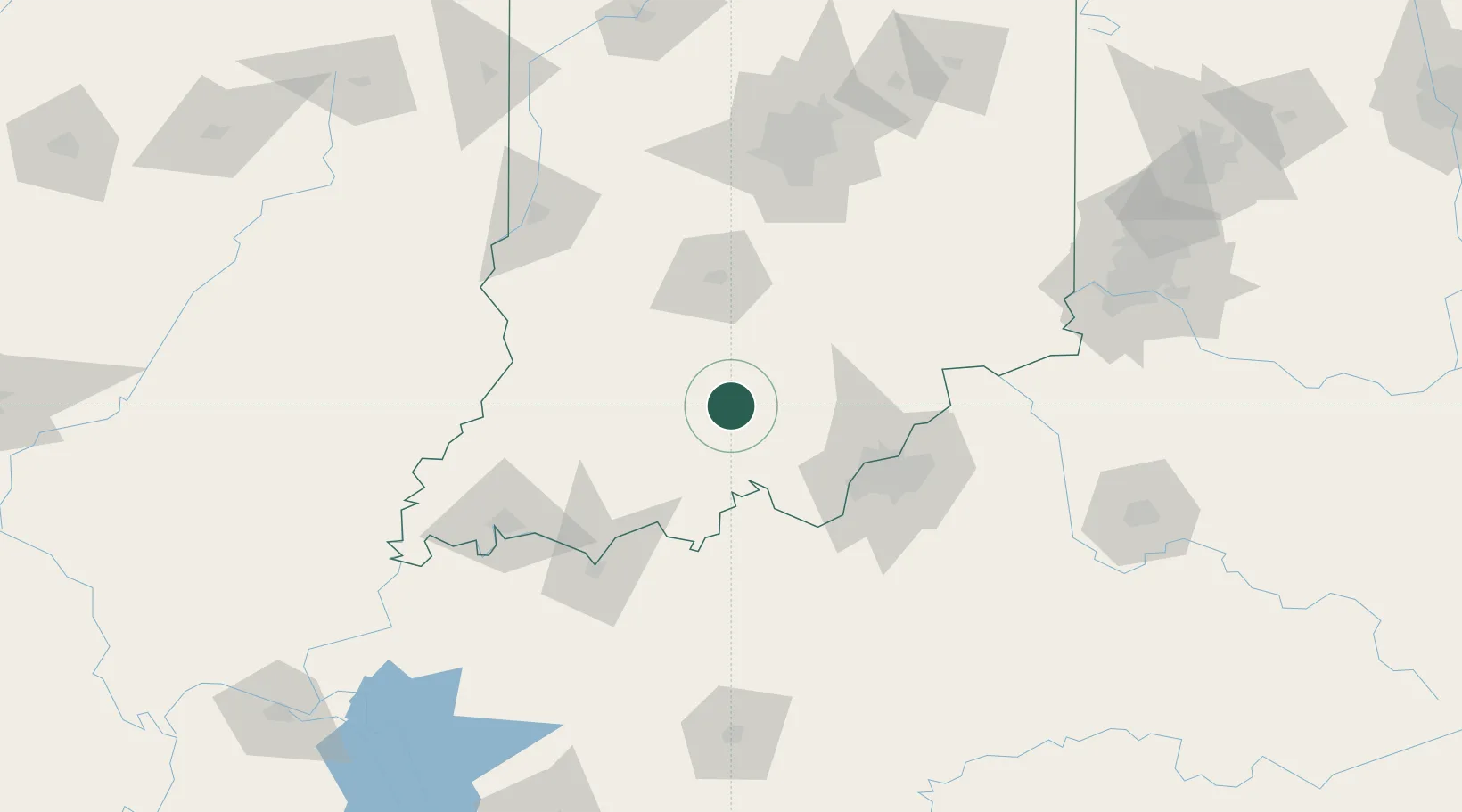
Location
Nearby Logistics Neighbours
Cities
- 1Marengo24 km
- 2English24 km
- 3Shoals30 km
- 4Ramsey38 km
- 5New Salisbury41 km
Ports
- 1Gary349 km
- 2Michigan City356 km
- 3Indiana Harbor356 km
- 4Calumet Harbor365 km
- 5Chicago383 km
Airports
Trade Zones
- 1FTZ No. 029 Louisville66 km
- 2FTZ No. 177 Evansville118 km
- 3FTZ No. 072 Indianapolis131 km
- 4FTZ No. 047 Boone County144 km
- 5FTZ No. 046 CIncinnati180 km
DatabookThe Record of Consolidated Knowledge
United States beyond logistics?