Transport Functions
Port
Rail
Road
Hub Profile
Place type
Populated place
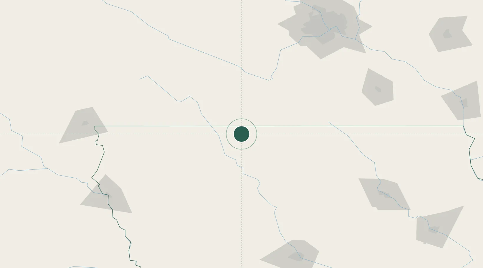
Region
Iowa
Population
889
Time zone
America/Chicago
Elevation
381 m
Location
Nearby Logistics Neighbours
Cities
- 1Bancroft23 km
- 2Emmetsburg35 km
- 3Blue Earth41 km
- 4Truman48 km
- 5West Bend48 km
Ports
- 1Superior417 km
- 2Duluth420 km
- 3Ashland456 km
- 4Two Harbors460 km
- 5Washburn461 km
Airports
Trade Zones
- 1FTZ No. 288 Northwest Iowa133 km
- 2FTZ No. 220 Sioux Falls189 km
- 3FTZ No. 107 Polk County200 km
- 4FTZ No. 119 Minneapolis-St. Paul202 km
- 5FTZ No. 175 Cedar Rapids269 km
DatabookThe Record of Consolidated Knowledge
United States beyond logistics?