UN/LOCODE hub · United States
USFCM

Fort Campbell

36.6362°, -87.4564°
2
Transport functions

Transport Functions

Road
Multimodal
UN/LOCODE

Hub Profile

Region
KY
GeoNames
Logistics facilities
1
UN/LOCODE

Location

Location of USFCM
Natural Earth 10m (public domain) · KY · USFCM · 36.64, -87.46GoogleOSMYandex

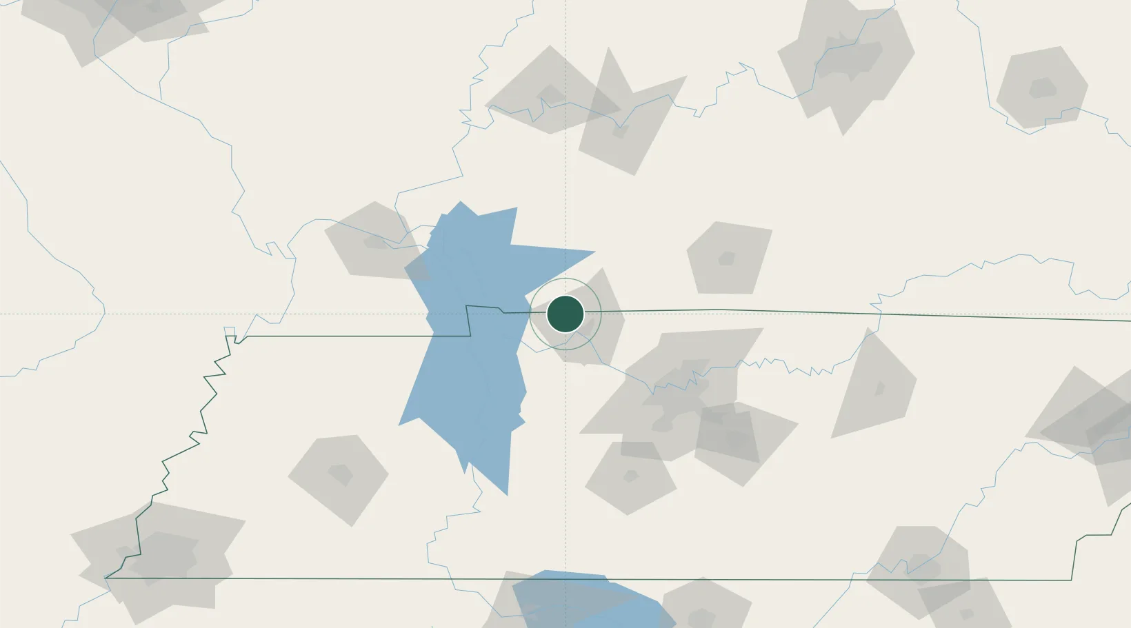
Nearby Logistics Neighbours

Cities
  1. 1Cumberland City32 km
  2. 2Elkton33 km
  3. 3Adams35 km
  4. 4Erin41 km
  5. 5Cadiz41 km
Nearest neighbours — logibook spatial index (haversine) over the source coordinates
Ports
  1. 1Port Of Memphis300 km
  2. 2Gary554 km
  3. 3Indiana Harbor559 km
  4. 4Calumet Harbor567 km
  5. 5Michigan City569 km
Nearest neighbours — logibook spatial index (haversine) over the source coordinates
Airports
  1. 1Campbell Army Airfield (Fort Campbell)5 km
  2. 2Nashville International Airport90 km
  3. 3Bowling Green Warren County Regional Airport99 km
  4. 4Smyrna Airport109 km
  5. 5Owensboro Daviess County Airport125 km
Nearest neighbours — logibook spatial index (haversine) over the source coordinates
Trade Zones
  1. 1FTZ No. 078 Nashville61 km
  2. 2FTZ No. 294 Western Kentucky111 km
  3. 3FTZ No. 177 Evansville152 km
  4. 4FTZ No. 283 West Tennessee222 km
  5. 5FTZ No. 265 Conroe (Montgomery County)224 km
Nearest neighbours — logibook spatial index (haversine) over the source coordinates
DatabookThe Record of Consolidated Knowledge
United States beyond logistics?
Browse databook

All Sources

LocationsUN/LOCODE
UN/LOCODE — free
Portsthe NGA World Port Index
Public domain (US gov)
AirportsOurAirports
Public domain
Trade Zonesthe World Bank SEZ database
CC BY 4.0
Trade ZonesOpen Zone Map
CC BY
← United States locations