UN/LOCODE hub · United States
USEDL
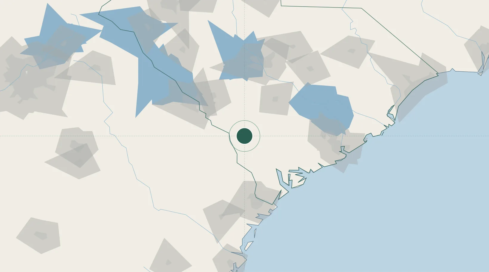
Allendale
33.0000°, -81.3000°
3,126
Population
3
Transport functions
Transport Functions
Port
Rail
Road
Hub Profile
Place type
Provincial seat
Region
South Carolina
Population
3,126
Time zone
America/New_York
Elevation
57 m
Location
Nearby Logistics Neighbours
Cities
- 1Boiling Springs, Barnwell19 km
- 2Varnville27 km
- 3Denmark39 km
- 4Blackville39 km
- 5Early Branch44 km
Ports
- 1Beaufort87 km
- 2Port Royal91 km
- 3Savannah104 km
- 4Charleston131 km
- 5Darien182 km
Airports
Trade Zones
- 1FTZ No. 021 Dorchester County55 km
- 2FTZ No. 104 Savannah103 km
- 3FTZ No. 127 West Columbia111 km
- 4FTZ No. 144 Brunswick206 km
- 5FTZ No. 038 Spartanburg County227 km
DatabookThe Record of Consolidated Knowledge
United States beyond logistics?