UN/LOCODE hub · United States
USJBI
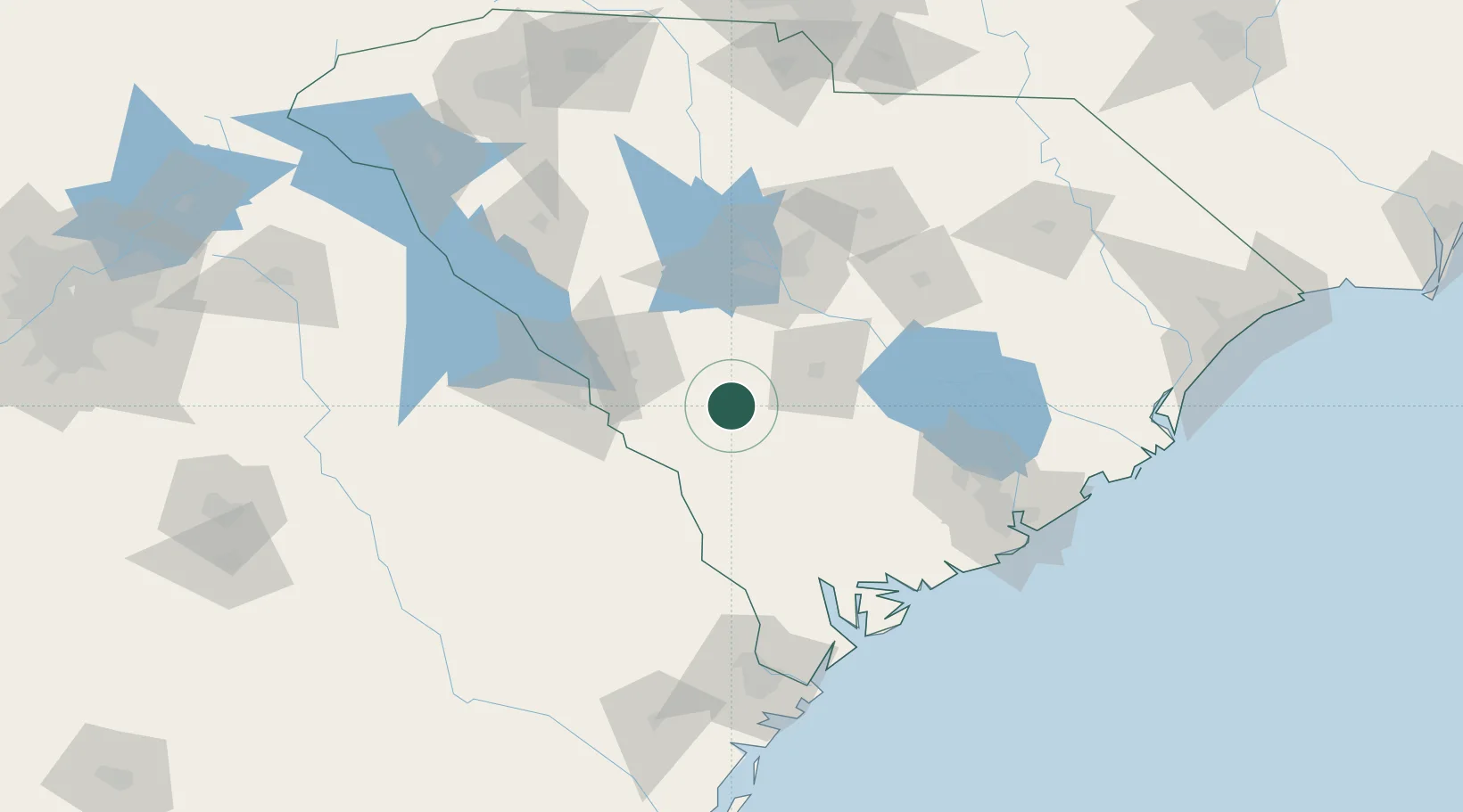
Blackville
33.3500°, -81.2667°
2,295
Population
2
Transport functions
Transport Functions
Rail
Road
Hub Profile
Place type
Populated place
Region
South Carolina
Population
2,295
Time zone
America/New_York
Elevation
89 m
Location
Nearby Logistics Neighbours
Cities
- 1Denmark13 km
- 2Boiling Springs, Barnwell29 km
- 3North32 km
- 4Allendale39 km
- 5Pelion45 km
Ports
- 1Beaufort116 km
- 2Port Royal122 km
- 3Charleston141 km
- 4Savannah142 km
- 5Georgetown184 km
Airports
Trade Zones
DatabookThe Record of Consolidated Knowledge
United States beyond logistics?