Transport Functions
Rail
Road
Hub Profile
Place type
Populated place
Region
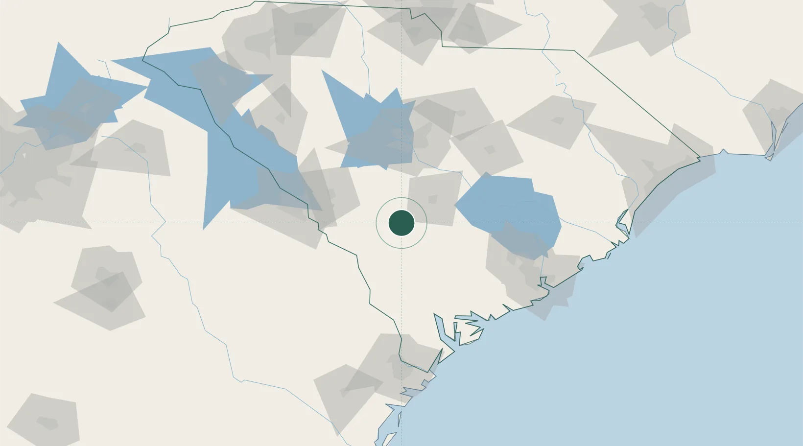
South Carolina
Population
3,315
Time zone
America/New_York
Elevation
73 m
Location
Nearby Logistics Neighbours
Cities
- 1Blackville13 km
- 2North32 km
- 3Boiling Springs, Barnwell35 km
- 4Allendale39 km
- 5Swansea46 km
Ports
- 1Beaufort108 km
- 2Port Royal114 km
- 3Charleston128 km
- 4Savannah137 km
- 5Georgetown172 km
Airports
Trade Zones
DatabookThe Record of Consolidated Knowledge
United States beyond logistics?