UN/LOCODE hub · United States
USBPH

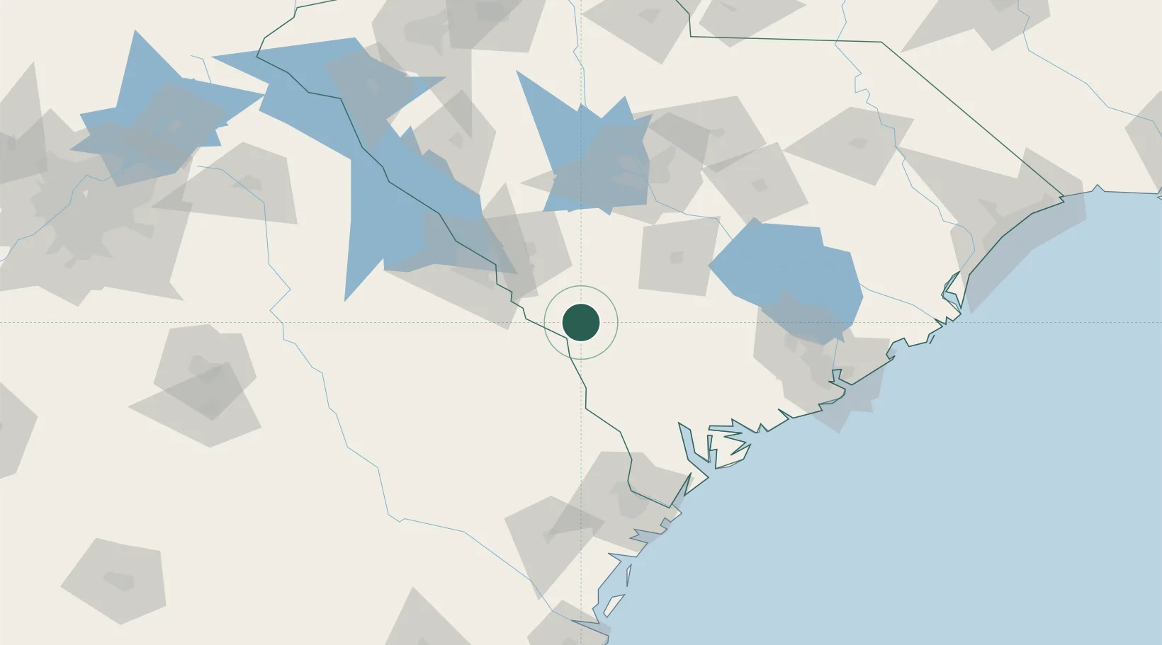
Boiling Springs, Barnwell

33.1333°, -81.4333°
2
Transport functions

Transport Functions

Road
Multimodal
UN/LOCODE

Hub Profile

Region
SC
GeoNames

Location

Location of USBPH
Natural Earth 10m (public domain) · SC · USBPH · 33.13, -81.43GoogleOSMYandex

Nearby Logistics Neighbours

Cities
  1. 1Allendale19 km
  2. 2Blackville29 km
  3. 3Denmark35 km
  4. 4Varnville47 km
  5. 5North60 km
Nearest neighbours — logibook spatial index (haversine) over the source coordinates
Ports
  1. 1Beaufort106 km
  2. 2Port Royal110 km
  3. 3Savannah121 km
  4. 4Charleston147 km
  5. 5Darien196 km
Nearest neighbours — logibook spatial index (haversine) over the source coordinates
Airports
  1. 1Augusta Regional At Bush Field56 km
  2. 2Orangeburg Municipal Airport64 km
  3. 3Daniel Field67 km
  4. 4Columbia Metropolitan Airport94 km
  5. 5Beaufort MCAS - Merritt Field99 km
Nearest neighbours — logibook spatial index (haversine) over the source coordinates
Trade Zones
  1. 1FTZ No. 021 Dorchester County67 km
  2. 2FTZ No. 127 West Columbia100 km
  3. 3FTZ No. 104 Savannah120 km
  4. 4FTZ No. 038 Spartanburg County209 km
  5. 5FTZ No. 144 Brunswick220 km
Nearest neighbours — logibook spatial index (haversine) over the source coordinates
DatabookThe Record of Consolidated Knowledge
United States beyond logistics?
Browse databook

All Sources

LocationsUN/LOCODE
UN/LOCODE — free
Portsthe NGA World Port Index
Public domain (US gov)
AirportsOurAirports
Public domain
Trade Zonesthe World Bank SEZ database
CC BY 4.0
Trade ZonesOpen Zone Map
CC BY
← United States locations