UN/LOCODE hub · United States
USACC
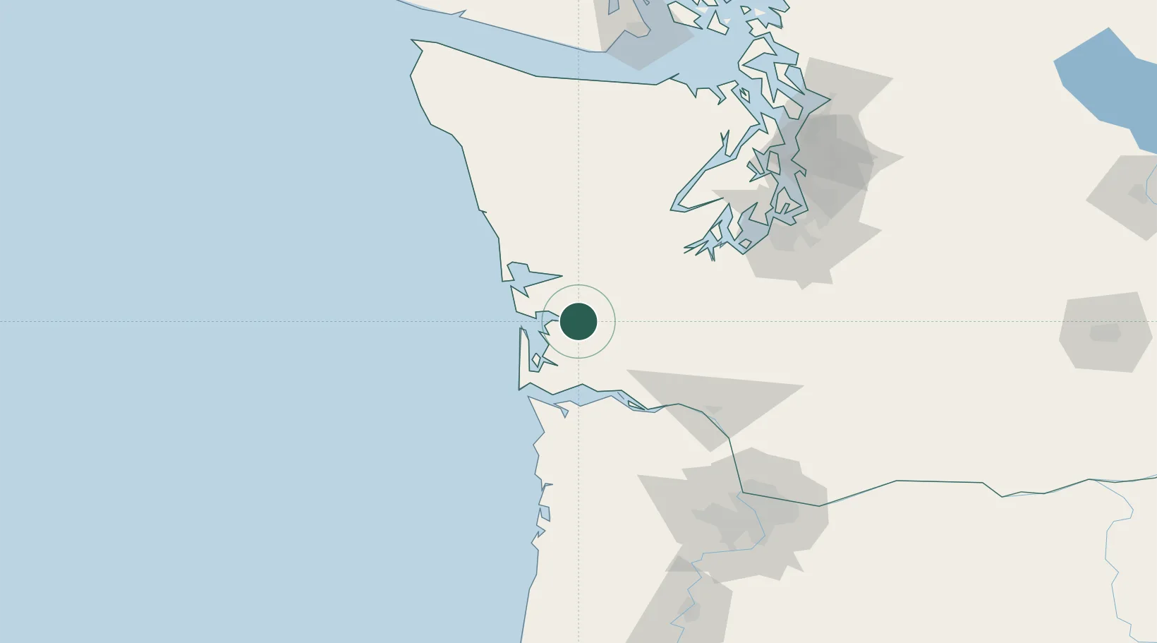
Raymond
46.6833°, -123.7167°
2,815
Population
2
Transport functions
Transport Functions
Port
Road
Hub Profile
Place type
Populated place
Region
Washington
Population
2,815
Time zone
America/Los_Angeles
Elevation
4 m
Location
Nearby Logistics Neighbours
Cities
- 1Grays Harbor City38 km
- 2Satsop40 km
- 3Elma43 km
- 4Chinook49 km
- 5McCleary54 km
Ports
- 1Willapa Harbor3 km
- 2South Bend5 km
- 3Aberdeen34 km
- 4Hoquiam35 km
- 5Westhaven Cove40 km
Airports
- 1Bowerman Airport36 km
- 2Astoria Regional Airport60 km
- 3Olympia Regional Airport70 km
- 4Southwest Washington Regional Airport89 km
- 5Gray Army Air Field97 km
Trade Zones
- 1FTZ No. 216 Olympia72 km
- 2FTZ No. 173 Grays Harbor72 km
- 3FTZ No. 120 Cowlitz County83 km
- 4FTZ No. 212 Tacoma110 km
- 5FTZ No. 086 Tacoma118 km
DatabookThe Record of Consolidated Knowledge
United States beyond logistics?