Channel & Berth Profile
Pilotage, Tugs & Services
Pilotage compulsoryYES
Pilotage advisableYES
Tug assistanceYES
Potable waterYES
Diesel bunkersYES
MedicalYES
Garbage disposalYES
Facilities & Capabilities
Container—
Ro-Ro—
Liquid bulk—
Dry bulk—
Oil terminal—
Break bulk—
Dry dock—
RepairsNO
BunkeringYES
Rail linkYES
Dangerous cargo—
ISPS security—
Harbour Specifications
Harbour size
Small
Harbour type
River (Natural)
Shelter
Excellent
Water body
North Pacific Ocean
Tidal range
2.4 m
Pilotage
Yes
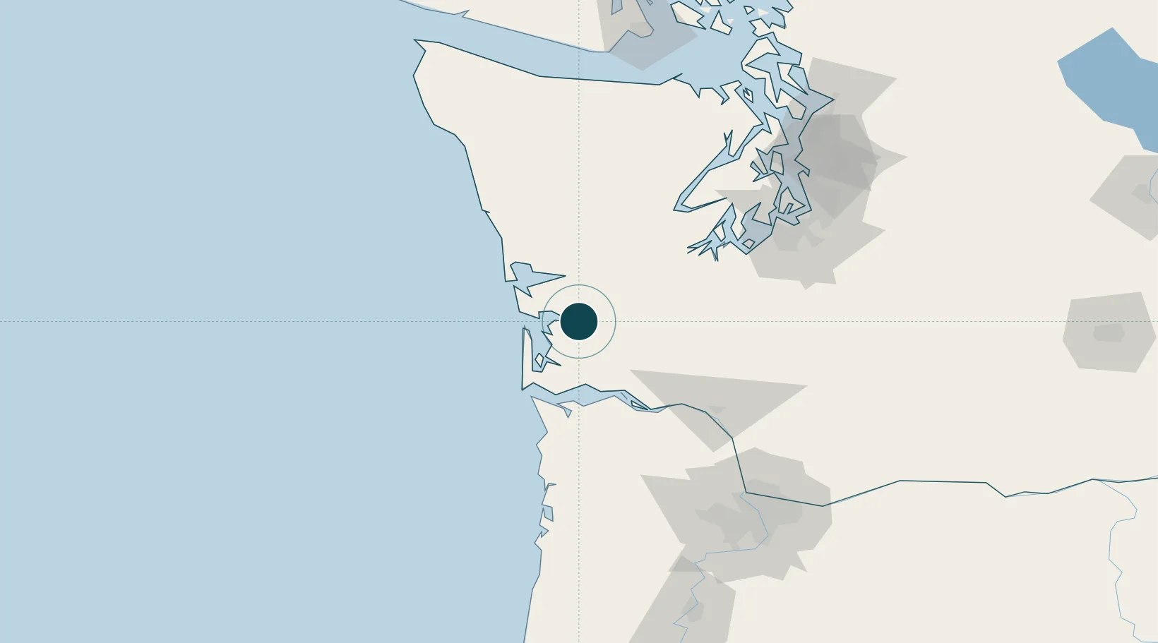
Location
Nearby Logistics Neighbours
Ports
- 1Willapa Harbor1 km
- 2South Bend4 km
- 3Aberdeen34 km
- 4Hoquiam34 km
- 5Westhaven Cove39 km
Cities
- 1Grays Harbor City37 km
- 2Satsop41 km
- 3Elma43 km
- 4Chinook49 km
- 5McCleary55 km
Airports
- 1Bowerman Airport36 km
- 2Astoria Regional Airport60 km
- 3Olympia Regional Airport71 km
- 4Southwest Washington Regional Airport90 km
- 5Gray Army Air Field98 km
Trade Zones
- 1FTZ No. 173 Grays Harbor71 km
- 2FTZ No. 216 Olympia73 km
- 3FTZ No. 120 Cowlitz County84 km
- 4FTZ No. 212 Tacoma111 km
- 5FTZ No. 086 Tacoma119 km
DatabookThe Record of Consolidated Knowledge
United States beyond logistics?