Transport Functions
Port
Rail
Road
Multimodal
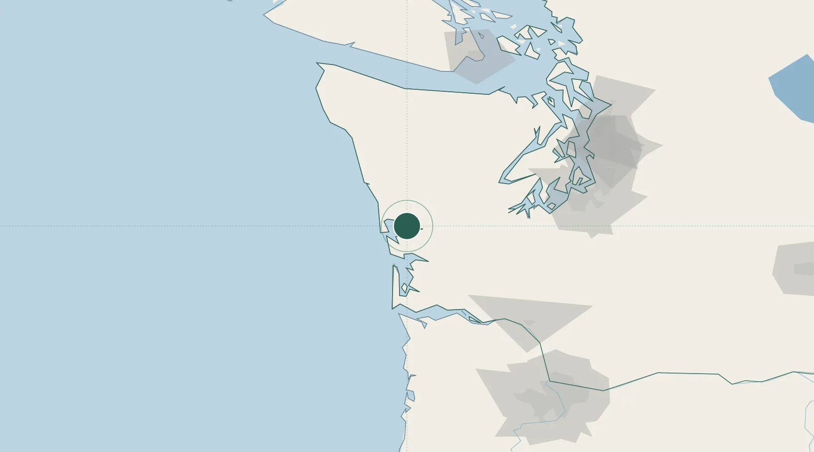
Hub Profile
Place type
Populated place
Region
Washington
Time zone
America/Los_Angeles
Elevation
25 m
Location
Nearby Logistics Neighbours
Ports
- 1Hoquiam4 km
- 2Aberdeen10 km
- 3Westhaven Cove15 km
- 4Willapa Harbor37 km
- 5Raymond37 km
Airports
- 1Bowerman Airport2 km
- 2Olympia Regional Airport79 km
- 3Astoria Regional Airport92 km
- 4Gray Army Air Field104 km
- 5Bremerton National Airport106 km
Trade Zones
- 1FTZ No. 173 Grays Harbor37 km
- 2FTZ No. 216 Olympia78 km
- 3FTZ No. 212 Tacoma112 km
- 4FTZ No. 120 Cowlitz County120 km
- 5FTZ No. 086 Tacoma121 km
DatabookThe Record of Consolidated Knowledge
United States beyond logistics?