UN/LOCODE hub · United States
USZFH

Shaw Air Force Base

33.9833°, -80.4833°
1
Transport functions

Transport Functions

Multimodal
UN/LOCODE

Hub Profile

Region
SC
GeoNames

Location

Location of USZFH
Natural Earth 10m (public domain) · SC · USZFH · 33.98, -80.48GoogleOSMYandex

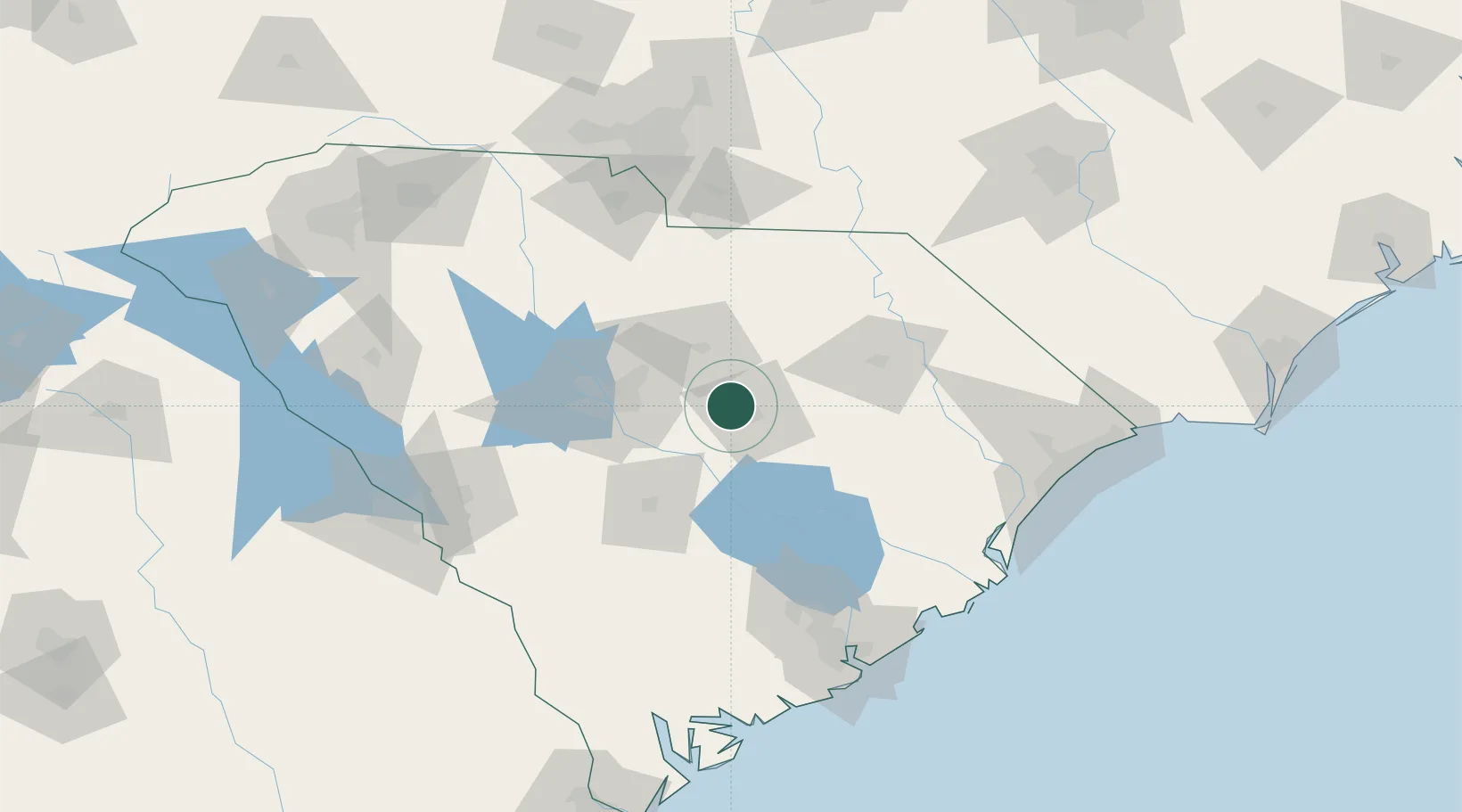
Nearby Logistics Neighbours

Cities
  1. 1Dalzell6 km
  2. 2Gadsden30 km
  3. 3Hopkins37 km
  4. 4Lynchburg39 km
  5. 5Gable40 km
Nearest neighbours — logibook spatial index (haversine) over the source coordinates
Ports
  1. 1Georgetown131 km
  2. 2Charleston143 km
  3. 3Beaufort173 km
  4. 4Port Royal181 km
  5. 5Savannah219 km
Nearest neighbours — logibook spatial index (haversine) over the source coordinates
Airports
  1. 1Shaw Air Force Base2 km
  2. 2Mc Entire Joint National Guard Base30 km
  3. 3Jim Hamilton L.B. Owens Airport47 km
  4. 4Columbia Metropolitan Airport59 km
  5. 5Orangeburg Municipal Airport68 km
Nearest neighbours — logibook spatial index (haversine) over the source coordinates
Trade Zones
  1. 1FTZ No. 127 West Columbia60 km
  2. 2FTZ No. 021 Dorchester County103 km
  3. 3FTZ No. 057 Mecklenburg County152 km
  4. 4FTZ No. 038 Spartanburg County191 km
  5. 5FTZ No. 104 Savannah218 km
Nearest neighbours — logibook spatial index (haversine) over the source coordinates
DatabookThe Record of Consolidated Knowledge
United States beyond logistics?
Browse databook

All Sources

LocationsUN/LOCODE
UN/LOCODE — free
Portsthe NGA World Port Index
Public domain (US gov)
AirportsOurAirports
Public domain
Trade Zonesthe World Bank SEZ database
CC BY 4.0
Trade ZonesOpen Zone Map
CC BY
← United States locations