UN/LOCODE hub · United States
USDRL

Drexel

38.4667°, -94.6000°
956
Population
3
Transport functions

Transport Functions

Rail
Road
Multimodal
UN/LOCODE

Hub Profile

Place type
Populated place
GeoNames
Region
Missouri
GeoNames
Population
956
GeoNames
Time zone
America/Chicago
GeoNames
Elevation
305 m
GeoNames

Location

Location of USDRL
Natural Earth 10m (public domain) · Missouri · USDRL · 38.47, -94.60GoogleOSMYandex

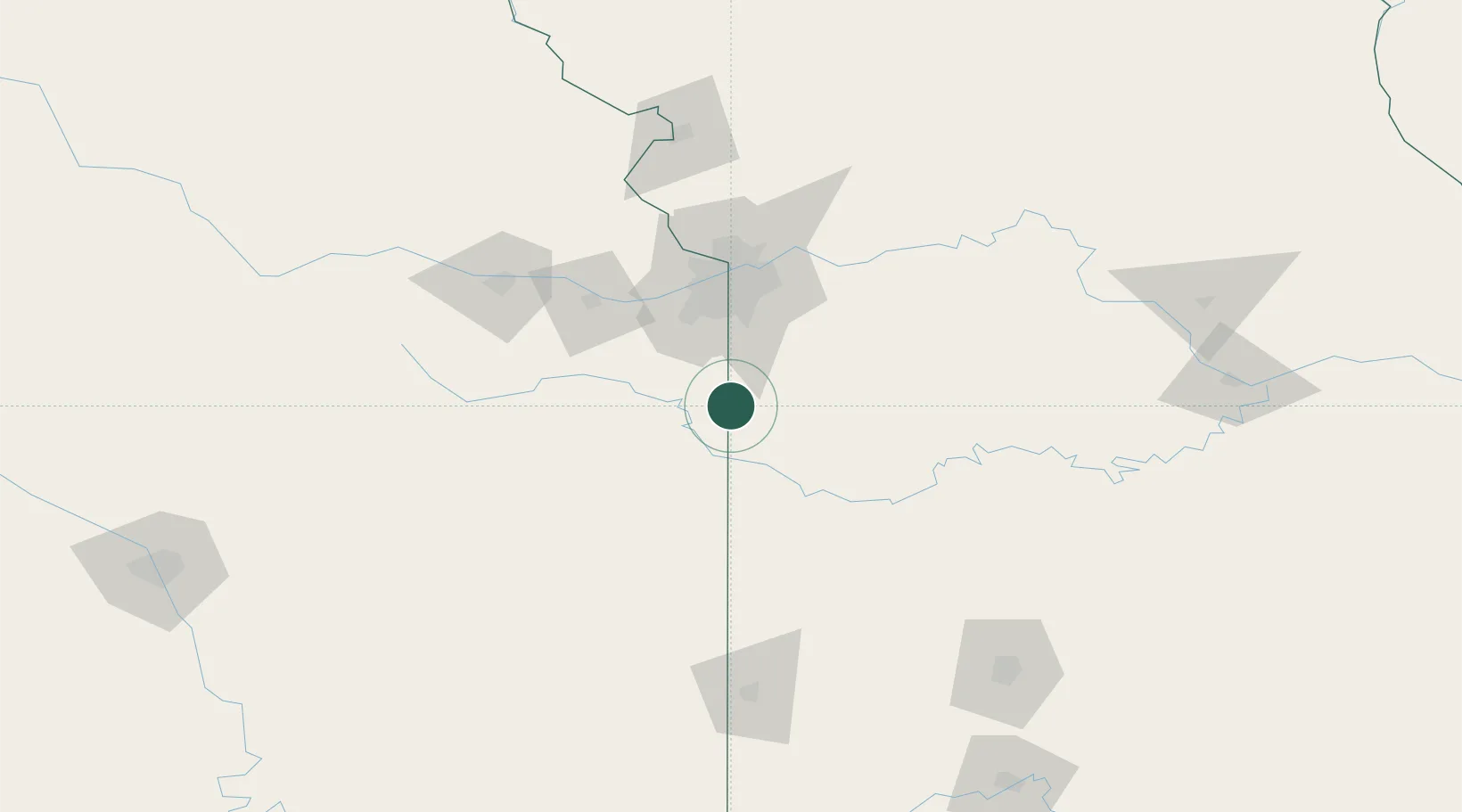
Nearby Logistics Neighbours

Cities
  1. 1Cleveland24 km
  2. 2Belton39 km
  3. 3Pleasant Hill46 km
  4. 4New Century48 km
  5. 5Greenwood49 km
Nearest neighbours — logibook spatial index (haversine) over the source coordinates
Ports
  1. 1Port Of Memphis547 km
  2. 2Calumet Harbor703 km
  3. 3Chicago705 km
  4. 4Indiana Harbor706 km
  5. 5Gary711 km
Nearest neighbours — logibook spatial index (haversine) over the source coordinates
Airports
  1. 1Charles B. Wheeler Downtown Airport73 km
  2. 2Kansas City International Airport93 km
  3. 3Whiteman Air Force Base96 km
  4. 4Topeka Regional Airport107 km
  5. 5Philip Billard Municipal Airport111 km
Nearest neighbours — logibook spatial index (haversine) over the source coordinates
Trade Zones
  1. 1FTZ No. 015 Kansas City49 km
  2. 2FTZ No. 017 Kansas City73 km
  3. 3FTZ No. 225 Springfield190 km
  4. 4FTZ No. 133 Quad-Cities, Iowa Illinois239 km
  5. 5FTZ No. 053 Rogers County261 km
Nearest neighbours — logibook spatial index (haversine) over the source coordinates
DatabookThe Record of Consolidated Knowledge
United States beyond logistics?
Browse databook

All Sources

LocationsUN/LOCODE
UN/LOCODE — free
LocationsGeoNames
CC BY 4.0
Portsthe NGA World Port Index
Public domain (US gov)
AirportsOurAirports
Public domain
Trade Zonesthe World Bank SEZ database
CC BY 4.0
Trade ZonesOpen Zone Map
CC BY
← United States locations