UN/LOCODE hub · United States
USNXC
New Century
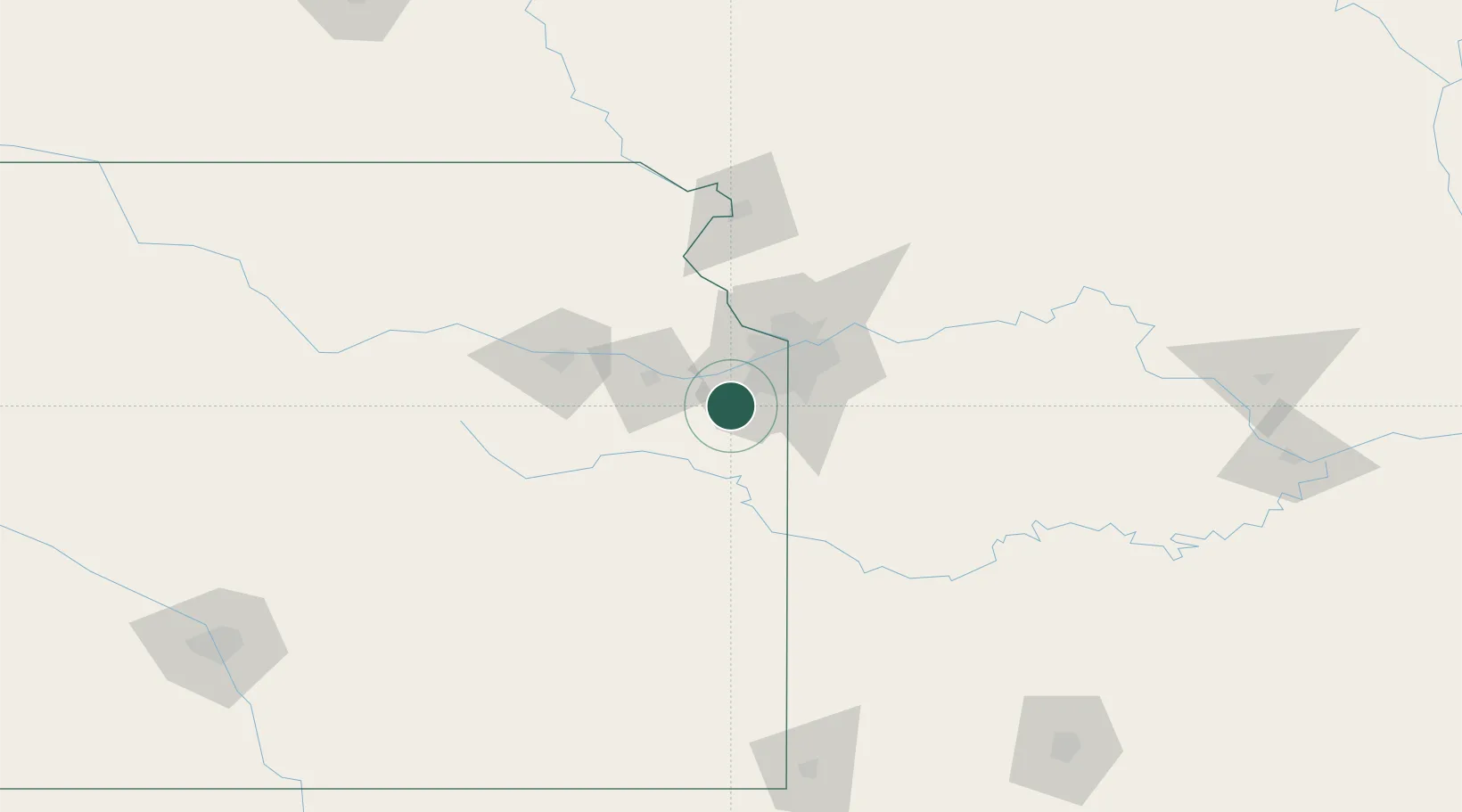
38.8333°, -94.8833°
1,072
Population
3
Transport functions
Transport Functions
Rail
Road
Airport
Hub Profile
Place type
Locality
Region
Kansas
Population
1,072
Time zone
America/Chicago
Elevation
331 m
Location
Nearby Logistics Neighbours
Cities
- 1De Soto17 km
- 2Linwood23 km
- 3Dallas27 km
- 4Baldwin City27 km
- 5Cleveland30 km
Ports
- 1Port Of Memphis592 km
- 2Calumet Harbor703 km
- 3Chicago704 km
- 4Indiana Harbor706 km
- 5Wilmette708 km
Airports
Trade Zones
- 1FTZ No. 015 Kansas City1 km
- 2FTZ No. 017 Kansas City29 km
- 3FTZ No. 133 Quad-Cities, Iowa Illinois191 km
- 4FTZ No. 225 Springfield237 km
- 5FTZ No. 059 Lincoln275 km
DatabookThe Record of Consolidated Knowledge
United States beyond logistics?