Transport Functions
Port
Road
Hub Profile
Place type
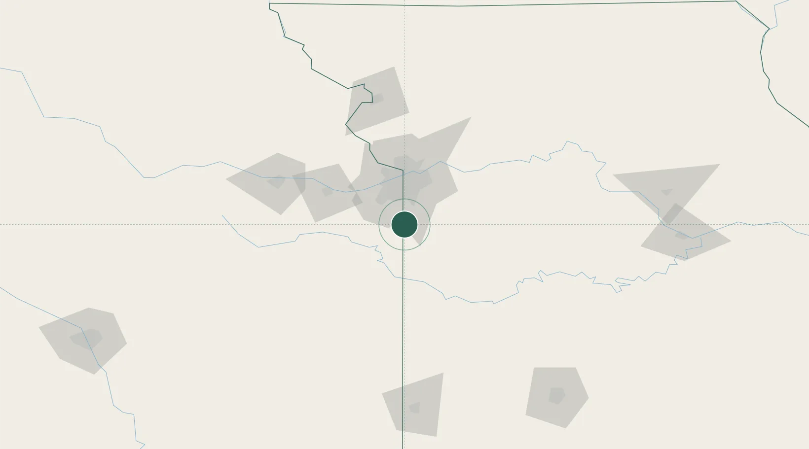
Populated place
Region
Missouri
Population
663
Time zone
America/Chicago
Elevation
299 m
Location
Nearby Logistics Neighbours
Cities
- 1Belton16 km
- 2Drexel24 km
- 3Dallas28 km
- 4Greenwood30 km
- 5New Century30 km
Ports
- 1Port Of Memphis563 km
- 2Calumet Harbor690 km
- 3Chicago692 km
- 4Indiana Harbor693 km
- 5Wilmette697 km
Airports
Trade Zones
- 1FTZ No. 015 Kansas City31 km
- 2FTZ No. 017 Kansas City51 km
- 3FTZ No. 225 Springfield208 km
- 4FTZ No. 133 Quad-Cities, Iowa Illinois220 km
- 5FTZ No. 053 Rogers County283 km
DatabookThe Record of Consolidated Knowledge
United States beyond logistics?