UN/LOCODE hub · United States
USPTI
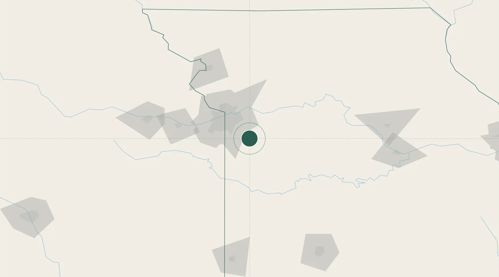
Pleasant Hill
38.7833°, -94.2667°
8,289
Population
2
Transport functions
Transport Functions
Rail
Road
Hub Profile
Place type
Populated place
Region
Missouri
Population
8,289
Time zone
America/Chicago
Elevation
277 m
Location
Nearby Logistics Neighbours
Cities
- 1Greenwood9 km
- 2Kingsville18 km
- 3Belton23 km
- 4Pittsville26 km
- 5Grain Valley27 km
Ports
- 1Port Of Memphis551 km
- 2Calumet Harbor660 km
- 3Chicago662 km
- 4Indiana Harbor663 km
- 5Wilmette667 km
Airports
Trade Zones
- 1FTZ No. 015 Kansas City55 km
- 2FTZ No. 017 Kansas City61 km
- 3FTZ No. 225 Springfield201 km
- 4FTZ No. 133 Quad-Cities, Iowa Illinois233 km
- 5FTZ No. 053 Rogers County306 km
DatabookThe Record of Consolidated Knowledge
United States beyond logistics?