Transport Functions
Rail
Road
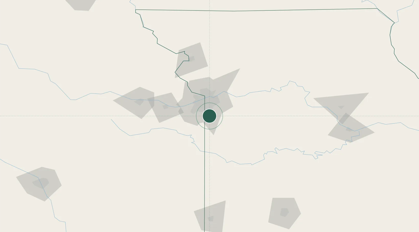
Hub Profile
Place type
Urban district
Region
Missouri
Population
23,168
Time zone
America/Chicago
Elevation
337 m
Location
Nearby Logistics Neighbours
Cities
- 1Dallas14 km
- 2Cleveland16 km
- 3Greenwood18 km
- 4Raytown22 km
- 5Pleasant Hill23 km
Ports
- 1Port Of Memphis570 km
- 2Calumet Harbor678 km
- 3Chicago679 km
- 4Indiana Harbor681 km
- 5Wilmette684 km
Airports
Trade Zones
- 1FTZ No. 015 Kansas City32 km
- 2FTZ No. 017 Kansas City41 km
- 3FTZ No. 133 Quad-Cities, Iowa Illinois213 km
- 4FTZ No. 225 Springfield217 km
- 5FTZ No. 059 Lincoln295 km
DatabookThe Record of Consolidated Knowledge
United States beyond logistics?