UN/LOCODE hub · United States
USEEO
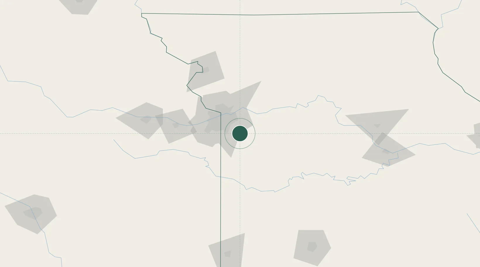
Greenwood
38.8500°, -94.3333°
5,569
Population
2
Transport functions
Transport Functions
Road
Multimodal
Hub Profile
Place type
Populated place
Region
Missouri
Population
5,569
Time zone
America/Chicago
Elevation
290 m
Location
Nearby Logistics Neighbours
Cities
- 1Pleasant Hill9 km
- 2Belton18 km
- 3Raytown20 km
- 4Grain Valley22 km
- 5Dallas25 km
Ports
- 1Port Of Memphis560 km
- 2Calumet Harbor661 km
- 3Chicago662 km
- 4Indiana Harbor664 km
- 5Wilmette667 km
Airports
Trade Zones
- 1FTZ No. 015 Kansas City49 km
- 2FTZ No. 017 Kansas City53 km
- 3FTZ No. 225 Springfield211 km
- 4FTZ No. 133 Quad-Cities, Iowa Illinois223 km
- 5FTZ No. 059 Lincoln304 km
DatabookThe Record of Consolidated Knowledge
United States beyond logistics?