Transport Functions
Road
Multimodal
Hub Profile
Place type
Populated place
Region
California
Population
678
Time zone
America/Los_Angeles
Elevation
1,303 m
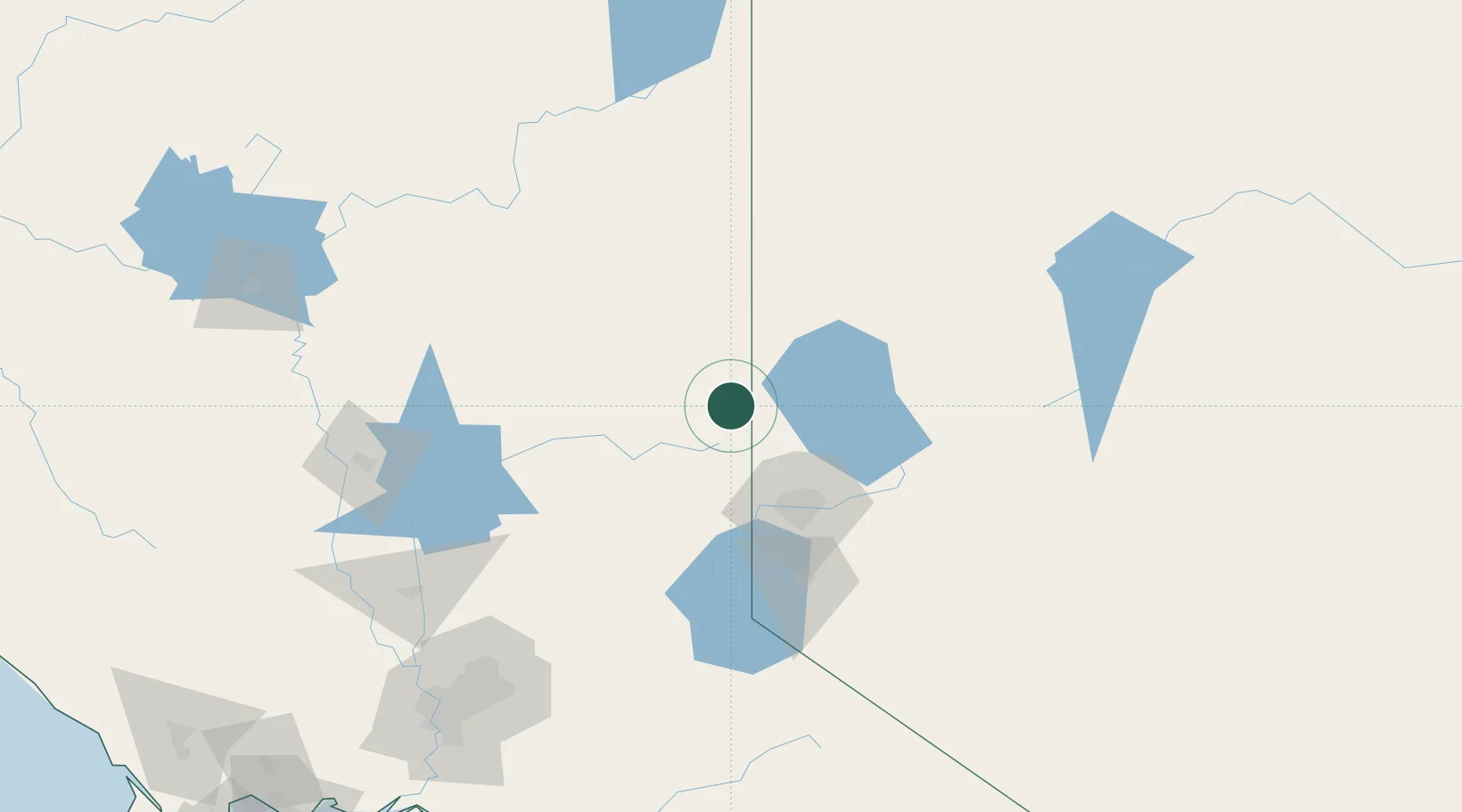
Location
Nearby Logistics Neighbours
Cities
- 1Reno-Stead45 km
- 2McCarran61 km
- 3Quincy71 km
- 4Saint Louis78 km
- 5La Porte84 km
Ports
- 1Sacramento200 km
- 2Courtland226 km
- 3Walnut Grove233 km
- 4Isleton243 km
- 5Rio Vista249 km
Airports
- 1Reno Tahoe International Airport64 km
- 2Truckee Tahoe Airport78 km
- 3Carson Airport97 km
- 4Lake Tahoe Airport125 km
- 5Derby Field131 km
Trade Zones
- 1FTZ No. 126 Sparks56 km
- 2FTZ No. 143 West Sacramento201 km
- 3FTZ No. 231 Stockton253 km
- 4FTZ No. 226 Merced, Madera and Fresno Counties303 km
- 5FTZ No. 056 Oakland309 km
DatabookThe Record of Consolidated Knowledge
United States beyond logistics?