Large airport · United States
Reno Tahoe International AirportKRNO
39.4991°, -119.7680°
11,001 ft
Longest runway
3
Runways
4,415 ft
Elevation
Runway & Layout

Radio Frequencies
ATIS
135.8 MHz
TWR
118.7 MHz
GND
121.9 MHz
CLD
124.9 MHz
CLNC DEL
A/D
119.2 MHz
APP/DEP
OPS
38.885 MHz
ANG OPS
POST
434.1 MHz
ANG COMD POST
RDO
122.2 MHz
UNIC
122.95 MHz
UNICOM
Navaids
FMG VORTAC Mustang 117.90 MHz
Runways · 3
| Runway | Dimensions | Surface | True heading | Lit |
|---|---|---|---|---|
| 17R/35L | 11,001 × 150ft | Concrete | 180° | ✓ |
| 17L/35R | 9,000 × 150ft | Concrete | 180° | ✓ |
| 08/26 | 6,102 × 150ft | Concrete | 090° | ✓ |
Airport Specifications
IATA code
RNO
ICAO code
KRNO
Airport class
Large airport
Scheduled service
Yes
Runway surface
Concrete
Served city
Reno
Location
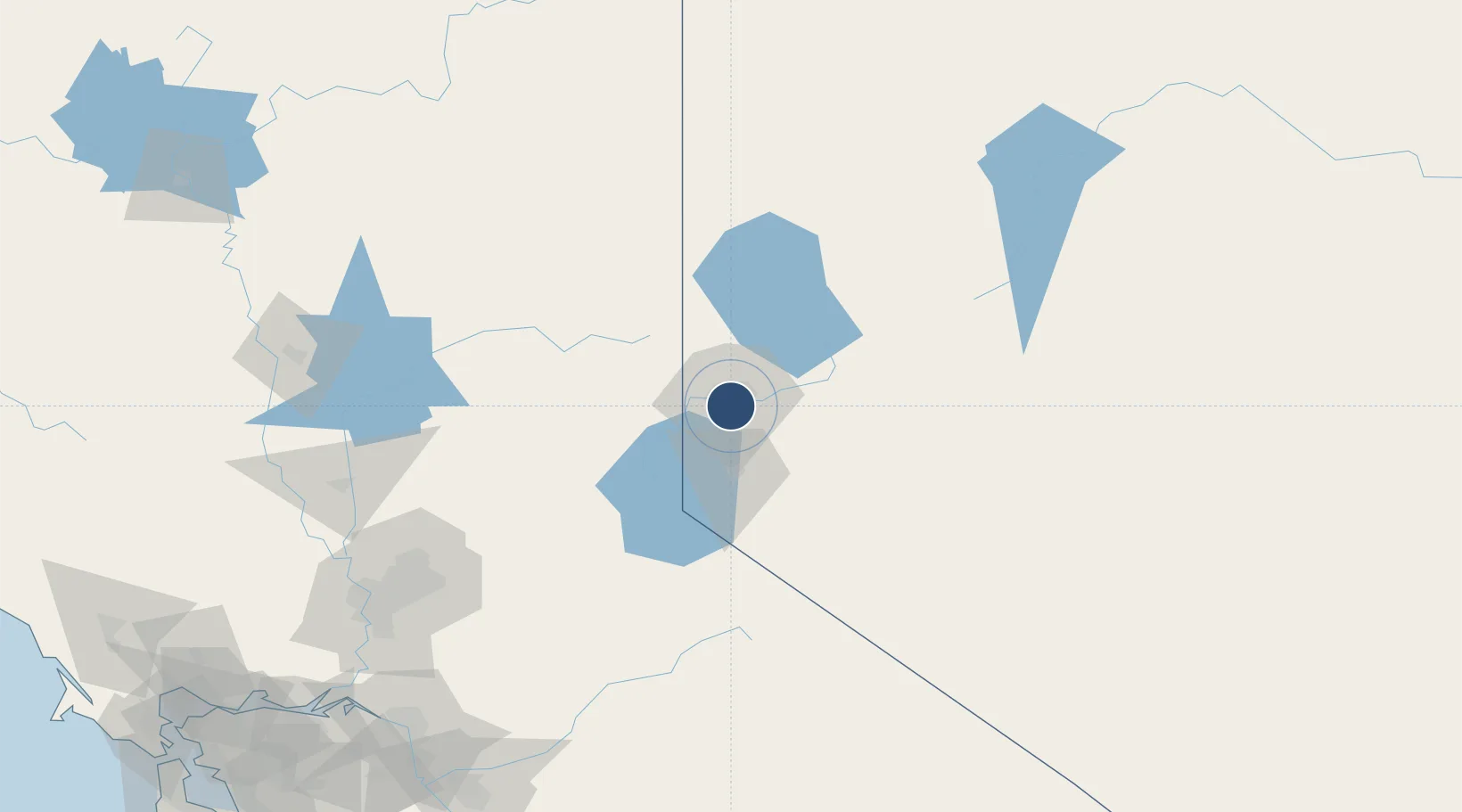
Nearby Logistics Neighbours
Airports
- 1Carson Airport34 km
- 2Truckee Tahoe Airport38 km
- 3Lake Tahoe Airport70 km
- 4Fallon Naval Air Station92 km
- 5Derby Field121 km
Cities
- 1McCarran7 km
- 2Reno-Stead20 km
- 3Incline Village33 km
- 4Mound House34 km
- 5Olympic Valley52 km
Ports
- 1Sacramento181 km
- 2Courtland203 km
- 3Walnut Grove207 km
- 4Isleton217 km
- 5Stockton218 km
Trade Zones
- 1FTZ No. 126 Sparks9 km
- 2FTZ No. 143 West Sacramento183 km
- 3FTZ No. 231 Stockton219 km
- 4FTZ No. 226 Merced, Madera and Fresno Counties252 km
- 5FTZ No. 056 Oakland288 km
DatabookThe Record of Consolidated Knowledge
United States beyond logistics?