Transport Functions
Road
Multimodal
Hub Profile
Place type
Populated place
Region
California
Population
26
Time zone
America/Los_Angeles
Elevation
1,518 m
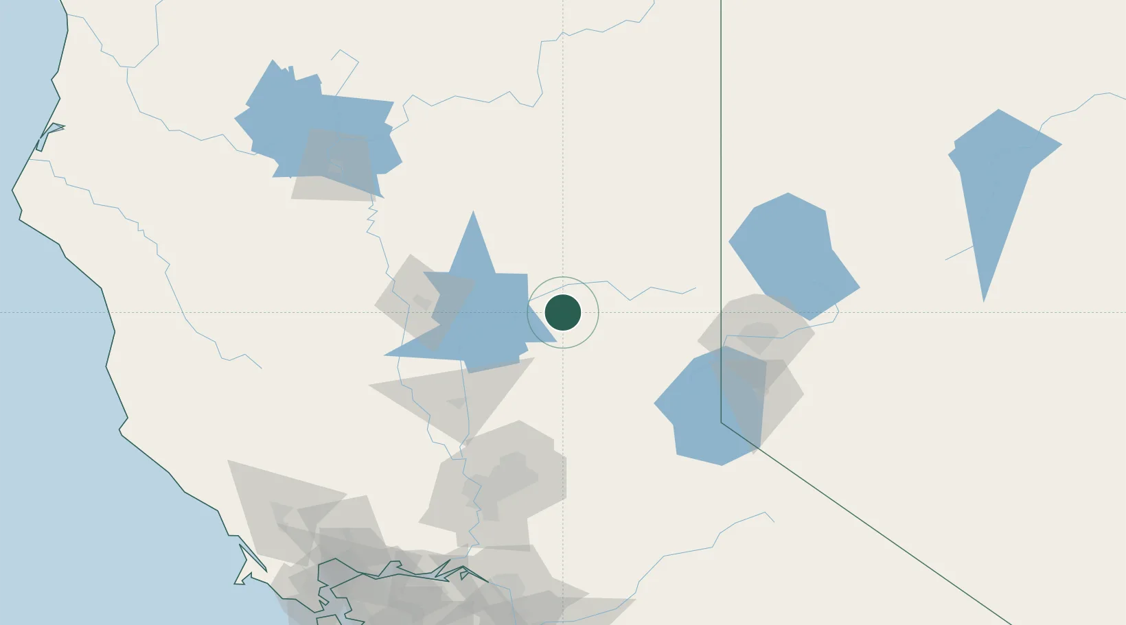
Location
Nearby Logistics Neighbours
Cities
- 1Saint Louis6 km
- 2Quincy27 km
- 3Berry Creek36 km
- 4Emigrant Gap52 km
- 5Penn Valley58 km
Ports
- 1Sacramento130 km
- 2Courtland158 km
- 3Walnut Grove168 km
- 4Isleton177 km
- 5Rio Vista181 km
Airports
- 1Beale Air Force Base72 km
- 2Yuba County Airport82 km
- 3Truckee Tahoe Airport83 km
- 4Reno Tahoe International Airport106 km
- 5McClellan Airfield119 km
Trade Zones
- 1FTZ No. 126 Sparks103 km
- 2FTZ No. 143 West Sacramento131 km
- 3FTZ No. 231 Stockton195 km
- 4FTZ No. 056 Oakland237 km
- 5FTZ No. 003 San Francisco243 km
DatabookThe Record of Consolidated Knowledge
United States beyond logistics?