Medium airport · United States
Carson AirportKCXP
39.1943°, -119.7343°
6,101 ft
Longest runway
1
Runways
4,697 ft
Elevation
Runway & Layout

Radio Frequencies
AWOS
119.925 MHz
AWOS 3
UNIC
123 MHz
CTAF/UNICOM
Runways · 1
| Runway | Dimensions | Surface | True heading | Lit |
|---|---|---|---|---|
| 09/27 | 6,101 × 75ft | Asphalt | 107° | ✓ |
Airport Specifications
IATA code
CSN
ICAO code
KCXP
Airport class
Medium airport
Scheduled service
No
Runway surface
Asphalt
Served city
Carson City
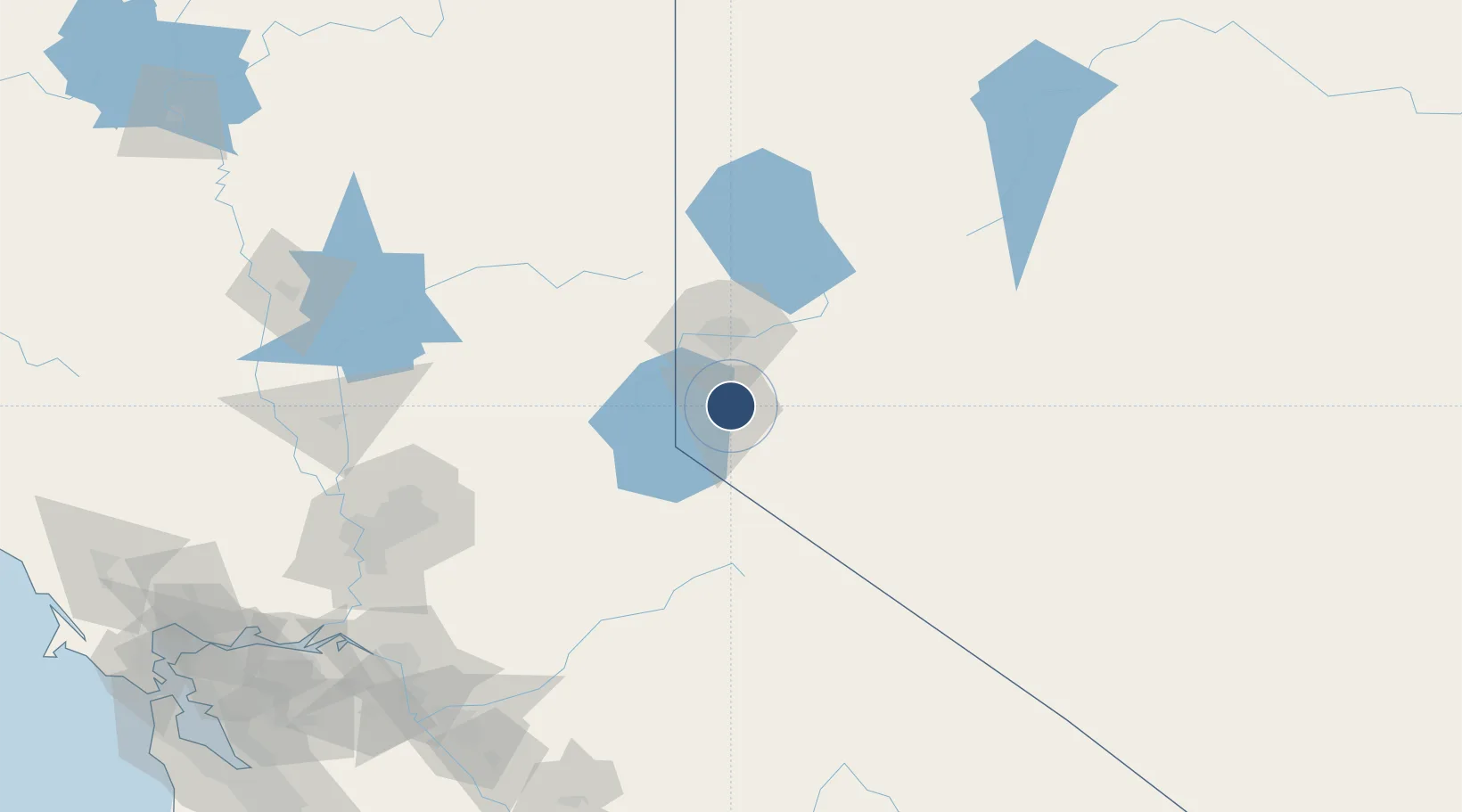
Location
Nearby Logistics Neighbours
Airports
- 1Reno Tahoe International Airport34 km
- 2Truckee Tahoe Airport38 km
- 3Lake Tahoe Airport40 km
- 4Fallon Naval Air Station92 km
- 5Derby Field139 km
Cities
- 1Mound House6 km
- 2Incline Village22 km
- 3Gardnerville29 km
- 4McCarran40 km
- 5Olympic Valley40 km
Ports
- 1Sacramento167 km
- 2Courtland186 km
- 3Walnut Grove188 km
- 4Stockton194 km
- 5Isleton198 km
Trade Zones
- 1FTZ No. 126 Sparks43 km
- 2FTZ No. 143 West Sacramento169 km
- 3FTZ No. 231 Stockton196 km
- 4FTZ No. 226 Merced, Madera and Fresno Counties220 km
- 5FTZ No. 056 Oakland270 km
DatabookThe Record of Consolidated Knowledge
United States beyond logistics?