Medium airport · United States

Derby FieldKLOL

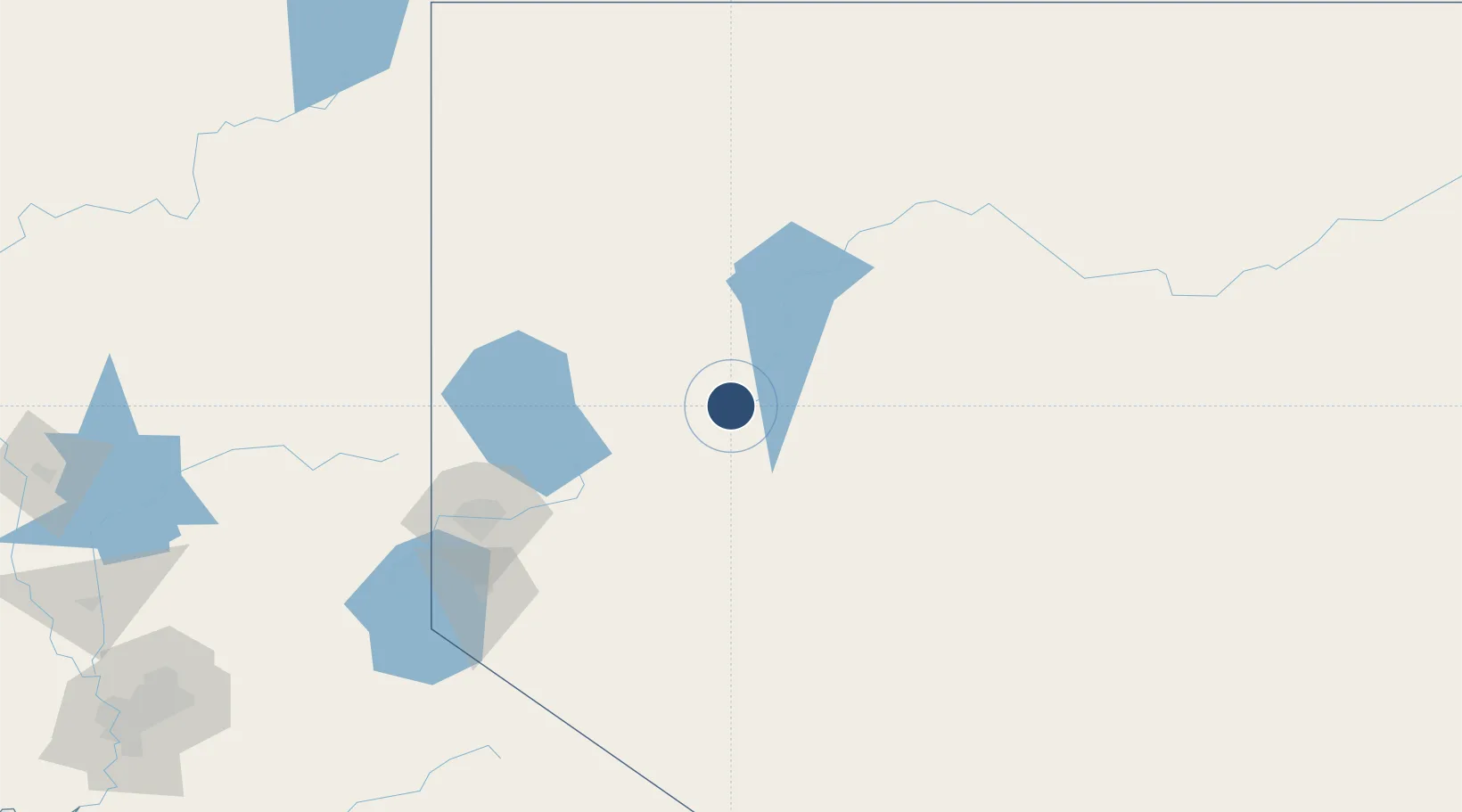
40.0664°, -118.5650°
5,529 ft
Longest runway
2
Runways
3,904 ft
Elevation

Runway & Layout

Derby Field runway & taxiway layout
Runway & taxiway layout — OpenStreetMap (ODbL) / OurAirports

Radio Frequencies

ASOS
120.675 MHz
CNTR
128.8 MHz
OAKLAND CNTR
FSS
122.4 MHz
RENO RDO
UNIC
122.8 MHz
CTAF/UNICOM
OurAirports

Runways · 2

RunwayDimensions SurfaceTrue headingLit
02/20 5,529 × 75ft Asphalt 030°
08/26 4,931 × 75ft Asphalt 090°
OurAirports

Airport Specifications

IATA code
LOL
OurAirports
ICAO code
KLOL
OurAirports
Airport class
Medium airport
OurAirports
Scheduled service
No
OurAirports
Runway surface
Asphalt
OurAirports
Served city
Lovelock
OurAirports

Location

Location of KLOL
Natural Earth 10m (public domain) · Nevada · KLOL · 40.07, -118.57GoogleOSMYandex

Nearby Logistics Neighbours

Airports
  1. 1Fallon Naval Air Station73 km
  2. 2Winnemucca Municipal Airport112 km
  3. 3Reno Tahoe International Airport121 km
  4. 4Carson Airport139 km
  5. 5Truckee Tahoe Airport158 km
Nearest neighbours — logibook spatial index (haversine) over the source coordinates
Cities
  1. 1Hazen70 km
  2. 2Mill City81 km
  3. 3McCarran114 km
  4. 4Reno-Stead122 km
  5. 5Doyle131 km
Nearest neighbours — logibook spatial index (haversine) over the source coordinates
Ports
  1. 1Sacramento302 km
  2. 2Courtland323 km
  3. 3Walnut Grove326 km
  4. 4Stockton334 km
  5. 5Isleton336 km
Nearest neighbours — logibook spatial index (haversine) over the source coordinates
Trade Zones
  1. 1FTZ No. 126 Sparks118 km
  2. 2FTZ No. 143 West Sacramento303 km
  3. 3FTZ No. 231 Stockton335 km
  4. 4FTZ No. 226 Merced, Madera and Fresno Counties349 km
  5. 5FTZ No. 280 Ada and Canyon Counties401 km
Nearest neighbours — logibook spatial index (haversine) over the source coordinates
DatabookThe Record of Consolidated Knowledge
United States beyond logistics?
Browse databook

All Sources

AirportsOurAirports
Public domain
Portsthe NGA World Port Index
Public domain (US gov)
LocationsUN/LOCODE
UN/LOCODE — free
Trade Zonesthe World Bank SEZ database
CC BY 4.0
Trade ZonesOpen Zone Map
CC BY
InfrastructureOpenStreetMap
ODbL 1.0
← United States airports