UN/LOCODE hub · United States
USRS3

Reno-Stead

39.6500°, -119.8833°
2
Transport functions

Transport Functions

Rail
Road
UN/LOCODE

Hub Profile

Place type
Populated place
GeoNames
Region
Nevada
GeoNames
Time zone
America/Los_Angeles
GeoNames
Elevation
1,529 m
GeoNames

Location

Location of USRS3
Natural Earth 10m (public domain) · Nevada · USRS3 · 39.65, -119.88GoogleOSMYandex

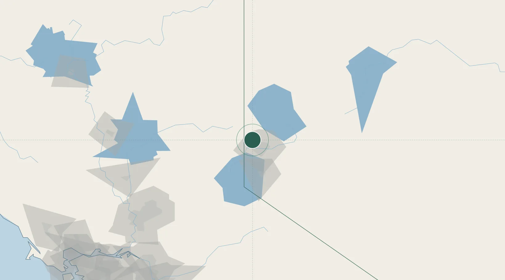
Nearby Logistics Neighbours

Cities
  1. 1McCarran18 km
  2. 2Doyle45 km
  3. 3Incline Village45 km
  4. 4Mound House53 km
  5. 5Olympic Valley60 km
Nearest neighbours — logibook spatial index (haversine) over the source coordinates
Ports
  1. 1Sacramento183 km
  2. 2Courtland206 km
  3. 3Walnut Grove212 km
  4. 4Isleton222 km
  5. 5Stockton225 km
Nearest neighbours — logibook spatial index (haversine) over the source coordinates
Airports
  1. 1Reno Tahoe International Airport20 km
  2. 2Truckee Tahoe Airport43 km
  3. 3Carson Airport52 km
  4. 4Lake Tahoe Airport85 km
  5. 5Fallon Naval Air Station105 km
Nearest neighbours — logibook spatial index (haversine) over the source coordinates
Trade Zones
  1. 1FTZ No. 126 Sparks12 km
  2. 2FTZ No. 143 West Sacramento185 km
  3. 3FTZ No. 231 Stockton227 km
  4. 4FTZ No. 226 Merced, Madera and Fresno Counties266 km
  5. 5FTZ No. 056 Oakland292 km
Nearest neighbours — logibook spatial index (haversine) over the source coordinates
DatabookThe Record of Consolidated Knowledge
United States beyond logistics?
Browse databook

All Sources

LocationsUN/LOCODE
UN/LOCODE — free
Portsthe NGA World Port Index
Public domain (US gov)
AirportsOurAirports
Public domain
Trade Zonesthe World Bank SEZ database
CC BY 4.0
Trade ZonesOpen Zone Map
CC BY
← United States locations