UN/LOCODE hub · United States
USGRR
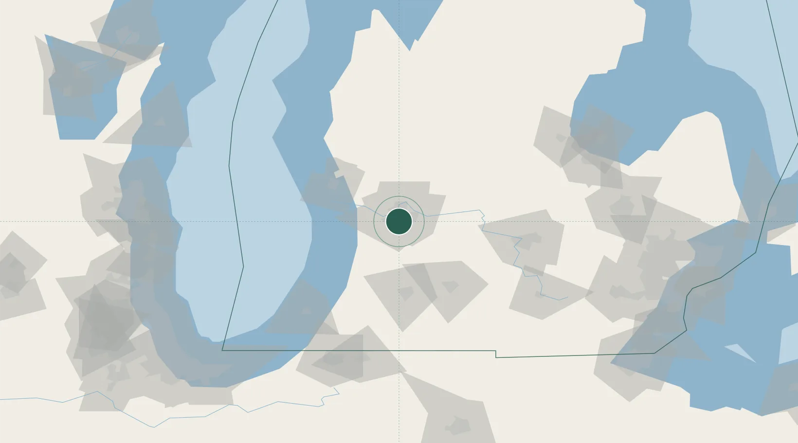
Grand Rapids
42.8927°, -85.6551°
195,097
Population
2
Transport functions
Transport Functions
Port
Airport
Hub Profile
Place type
Provincial seat
Region
Michigan
Population
195,097
Time zone
America/Detroit
Elevation
195 m
Logistics facilities
4
Location
Nearby Logistics Neighbours
Cities
- 1Jenison13 km
- 2Comstock Park16 km
- 3Caledonia17 km
- 4Belmont20 km
- 5Dorr20 km
Ports
- 1Holland41 km
- 2Grand Haven51 km
- 3Muskegon63 km
- 4South Haven75 km
- 5White Lake79 km
Airports
Trade Zones
DatabookThe Record of Consolidated Knowledge
United States beyond logistics?