Transport Functions
Rail
Road
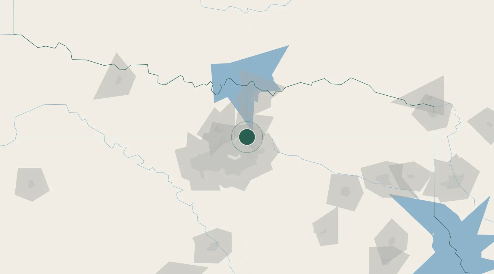
Hub Profile
Place type
Populated place
Region
Texas
Population
98,143
Time zone
America/Chicago
Elevation
201 m
Logistics facilities
1
Location
Nearby Logistics Neighbours
Cities
- 1Frisco12 km
- 2Prosper16 km
- 3The Colony18 km
- 4Sachse20 km
- 5Melissa22 km
Airports
Trade Zones
- 1FTZ No. 168 Dallas Fort Worth88 km
- 2FTZ No. 196 Fort Worth89 km
- 3FTZ No. 113 Ellis County96 km
- 4FTZ No. 227 Durant102 km
- 5FTZ No. 269 Athens128 km
DatabookThe Record of Consolidated Knowledge
United States beyond logistics?