UN/LOCODE hub · United States
USDLB

Dallas

38.9333°, -94.6000°
2
Transport functions

Transport Functions

Road
Multimodal
UN/LOCODE

Hub Profile

Place type
Populated place
GeoNames
Region
Missouri
GeoNames
Time zone
America/Chicago
GeoNames
Elevation
254 m
GeoNames

Location

Location of USDLB
Natural Earth 10m (public domain) · Missouri · USDLB · 38.93, -94.60GoogleOSMYandex

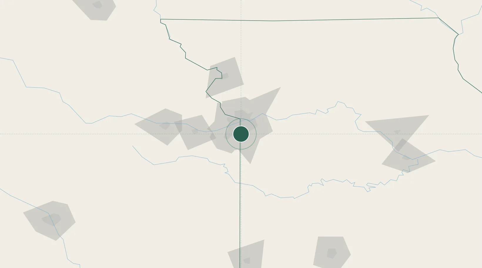
Nearby Logistics Neighbours

Cities
  1. 1Belton14 km
  2. 2Raytown15 km
  3. 3Muncie20 km
  4. 4Greenwood25 km
  5. 5Riverside26 km
Nearest neighbours — logibook spatial index (haversine) over the source coordinates
Ports
  1. 1Port Of Memphis583 km
  2. 2Calumet Harbor676 km
  3. 3Chicago677 km
  4. 4Indiana Harbor679 km
  5. 5Wilmette681 km
Nearest neighbours — logibook spatial index (haversine) over the source coordinates
Airports
  1. 1Charles B. Wheeler Downtown Airport21 km
  2. 2Kansas City International Airport42 km
  3. 3Philip Billard Municipal Airport90 km
  4. 4Topeka Regional Airport92 km
  5. 5Whiteman Air Force Base94 km
Nearest neighbours — logibook spatial index (haversine) over the source coordinates
Trade Zones
  1. 1FTZ No. 015 Kansas City28 km
  2. 2FTZ No. 017 Kansas City28 km
  3. 3FTZ No. 133 Quad-Cities, Iowa Illinois200 km
  4. 4FTZ No. 225 Springfield231 km
  5. 5FTZ No. 059 Lincoln282 km
Nearest neighbours — logibook spatial index (haversine) over the source coordinates
DatabookThe Record of Consolidated Knowledge
United States beyond logistics?
Browse databook

All Sources

LocationsUN/LOCODE
UN/LOCODE — free
Portsthe NGA World Port Index
Public domain (US gov)
AirportsOurAirports
Public domain
Trade Zonesthe World Bank SEZ database
CC BY 4.0
Trade ZonesOpen Zone Map
CC BY
← United States locations