UN/LOCODE hub · United States
USILR
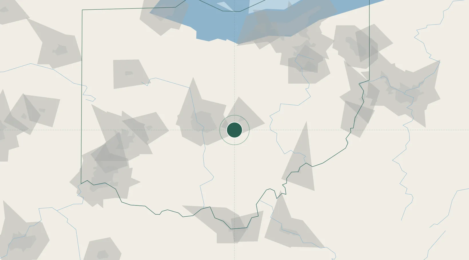
Millersport
39.9000°, -82.5333°
1,049
Population
3
Transport functions
Transport Functions
Rail
Road
Multimodal
Hub Profile
Place type
Populated place
Region
Ohio
Population
1,049
Time zone
America/New_York
Elevation
274 m
Location
Nearby Logistics Neighbours
Cities
- 1Buckeye Lake7 km
- 2Etna14 km
- 3Granville19 km
- 4Carroll19 km
- 5Blacklick25 km
Ports
- 1Huron167 km
- 2Vermilion171 km
- 3Sandusky173 km
- 4Lorain177 km
- 5Port Clinton183 km
Airports
Trade Zones
- 1FTZ No. 138 Franklin County36 km
- 2FTZ No. 054 Clinton County119 km
- 3FTZ No. 181 Akron Canton135 km
- 4FTZ No. 100 Dayton150 km
- 5FTZ No. 151 Findlay161 km
DatabookThe Record of Consolidated Knowledge
United States beyond logistics?