UN/LOCODE hub · United States
USBFY
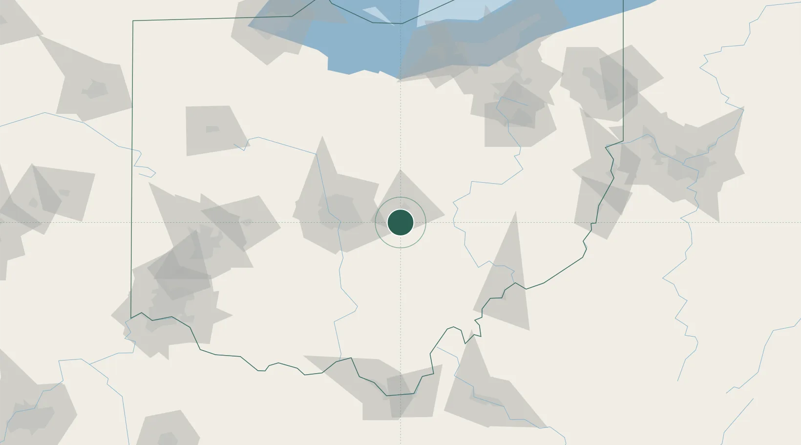
Buckeye Lake
39.9333°, -82.4667°
2,760
Population
3
Transport functions
Transport Functions
Port
Rail
Road
Hub Profile
Place type
Populated place
Region
Ohio
Population
2,760
Time zone
America/New_York
Elevation
274 m
Location
Nearby Logistics Neighbours
Cities
- 1Millersport7 km
- 2Granville15 km
- 3Etna19 km
- 4Carroll26 km
- 5Junction City, Perry28 km
Ports
- 1Huron163 km
- 2Vermilion167 km
- 3Sandusky170 km
- 4Lorain172 km
- 5Port Clinton180 km
Airports
Trade Zones
- 1FTZ No. 138 Franklin County42 km
- 2FTZ No. 054 Clinton County126 km
- 3FTZ No. 181 Akron Canton129 km
- 4FTZ No. 100 Dayton156 km
- 5FTZ No. 151 Findlay162 km
DatabookThe Record of Consolidated Knowledge
United States beyond logistics?