UN/LOCODE hub · United States
USQEB
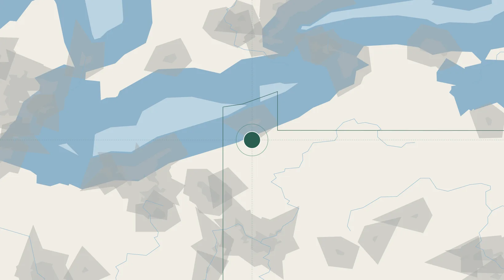
Edinboro
41.8667°, -80.1167°
6,335
Population
3
Transport functions
Transport Functions
Port
Road
Multimodal
Hub Profile
Place type
Populated place
Region
Pennsylvania
Population
6,335
Time zone
America/New_York
Elevation
370 m
Location
Nearby Logistics Neighbours
Cities
- 1Waterford13 km
- 2Fairview20 km
- 3Albion (Erie County)21 km
- 4Girard22 km
- 5Conneautville24 km
Airports
Trade Zones
- 1FTZ No. 247 Erie28 km
- 2FTZ No. 254 Jefferson County124 km
- 3FTZ No. 295 Central Pennsylvania143 km
- 4FTZ No. 040 Cleveland149 km
- 5FTZ No. 023 Buffalo152 km
DatabookThe Record of Consolidated Knowledge
United States beyond logistics?