Transport Functions
Multimodal
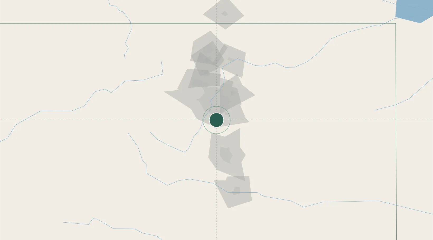
Hub Profile
Place type
Populated place
Region
Colorado
Population
206
Time zone
America/Denver
Elevation
1,780 m
Location
Nearby Logistics Neighbours
Cities
- 1Castle Pines6 km
- 2Castle Rock11 km
- 3Gateway12 km
- 4Lone Tree13 km
- 5Highlands Ranch13 km
Ports
- 1Duluth1321 km
- 2Superior1321 km
- 3Newport Beach1324 km
- 4San Diego1327 km
- 5Rosarito1345 km
Airports
Trade Zones
- 1FTZ No. 123 Denver34 km
- 2FTZ No. 298 Jefferson County39 km
- 3FTZ No. 112 Colorado Springs68 km
- 4FTZ No. 293 Limon110 km
- 5FTZ No. 110 Albuquerque511 km
DatabookThe Record of Consolidated Knowledge
United States beyond logistics?