UN/LOCODE hub · United States
USCOJ
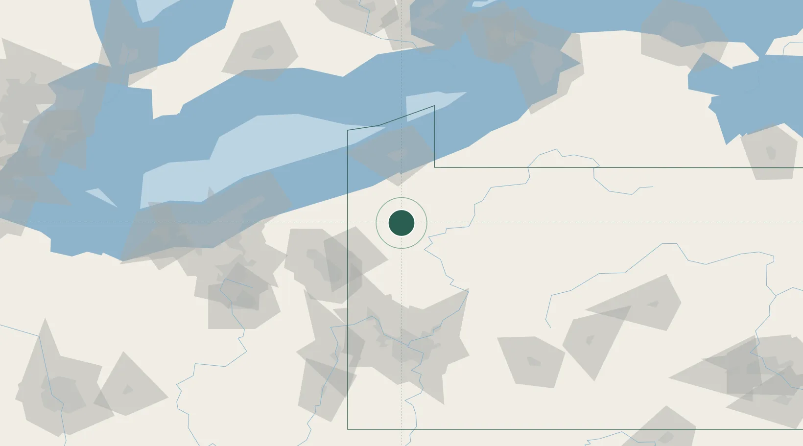
Cochranton
41.5167°, -80.0500°
1,109
Population
3
Transport functions
Transport Functions
Port
Rail
Road
Hub Profile
Place type
Populated place
Region
Pennsylvania
Population
1,109
Time zone
America/New_York
Elevation
326 m
Location
Nearby Logistics Neighbours
Cities
- 1Guys Mills14 km
- 2Sandy Lake20 km
- 3Reno28 km
- 4Conneautville37 km
- 5Transfer38 km
Airports
Trade Zones
- 1FTZ No. 247 Erie67 km
- 2FTZ No. 254 Jefferson County109 km
- 3FTZ No. 295 Central Pennsylvania119 km
- 4FTZ No. 033 Pittsburgh121 km
- 5FTZ No. 040 Cleveland150 km
DatabookThe Record of Consolidated Knowledge
United States beyond logistics?