Transport Functions
Rail
Road
Multimodal
Hub Profile
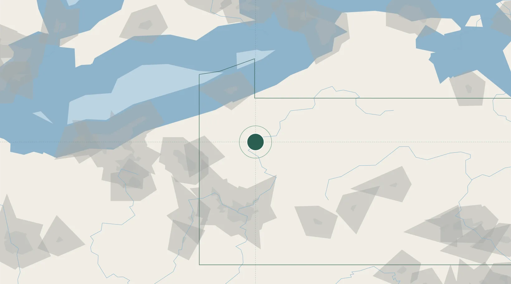
Place type
Populated place
Region
Pennsylvania
Time zone
America/New_York
Elevation
309 m
Location
Nearby Logistics Neighbours
Cities
- 1Emlenton26 km
- 2Tionesta27 km
- 3Sandy Lake27 km
- 4Cochranton28 km
- 5Shippenville29 km
Airports
Trade Zones
- 1FTZ No. 254 Jefferson County84 km
- 2FTZ No. 247 Erie85 km
- 3FTZ No. 295 Central Pennsylvania91 km
- 4FTZ No. 033 Pittsburgh111 km
- 5FTZ No. 181 Akron Canton174 km
DatabookThe Record of Consolidated Knowledge
United States beyond logistics?