UN/LOCODE hub · United States
USGQM
Guys Mills
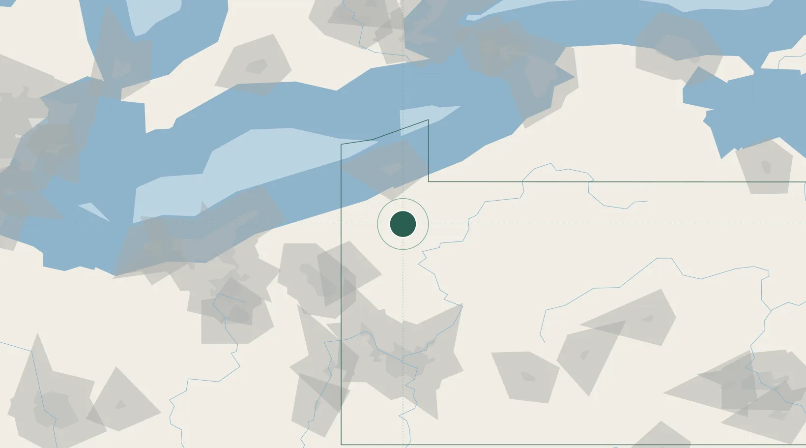
41.6333°, -79.9833°
124
Population
2
Transport functions
Transport Functions
Road
Multimodal
Hub Profile
Place type
Populated place
Region
Pennsylvania
Population
124
Time zone
America/New_York
Elevation
422 m
Location
Nearby Logistics Neighbours
Cities
- 1Cochranton14 km
- 2Edinboro28 km
- 3Spartansburg32 km
- 4Reno32 km
- 5Waterford33 km
Airports
Trade Zones
- 1FTZ No. 247 Erie55 km
- 2FTZ No. 254 Jefferson County105 km
- 3FTZ No. 295 Central Pennsylvania120 km
- 4FTZ No. 033 Pittsburgh134 km
- 5FTZ No. 040 Cleveland156 km
DatabookThe Record of Consolidated Knowledge
United States beyond logistics?