UN/LOCODE hub · United States
USAYL
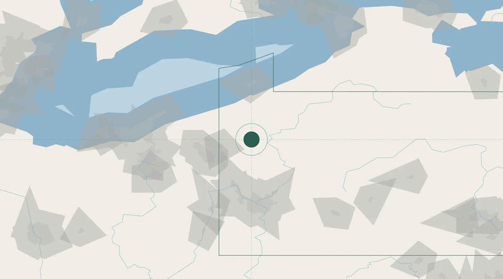
Sandy Lake
41.3333°, -80.0667°
652
Population
3
Transport functions
Transport Functions
Rail
Road
Multimodal
Hub Profile
Place type
Populated place
Region
Pennsylvania
Population
652
Time zone
America/New_York
Elevation
353 m
Location
Nearby Logistics Neighbours
Cities
- 1Cochranton20 km
- 2Reno27 km
- 3Transfer29 km
- 4Volant30 km
- 5Boyers30 km
Airports
Trade Zones
- 1FTZ No. 247 Erie87 km
- 2FTZ No. 033 Pittsburgh100 km
- 3FTZ No. 254 Jefferson County111 km
- 4FTZ No. 295 Central Pennsylvania115 km
- 5FTZ No. 181 Akron Canton146 km
DatabookThe Record of Consolidated Knowledge
United States beyond logistics?