UN/LOCODE hub · United States
USQPO
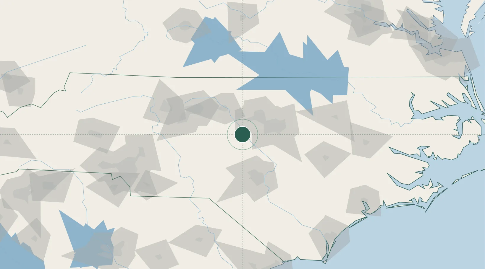
Pittsboro
35.7167°, -79.1667°
4,198
Population
3
Transport functions
Transport Functions
Rail
Road
Multimodal
Hub Profile
Place type
Provincial seat
Region
North Carolina
Population
4,198
Time zone
America/New_York
Elevation
124 m
Location
Nearby Logistics Neighbours
Cities
- 1New Hill21 km
- 2Carrboro24 km
- 3Research Triangle Park33 km
- 4Morrisville34 km
- 5Hillsborough39 km
Ports
- 1Washington192 km
- 2Wilmington199 km
- 3New Bern204 km
- 4Wrightsville207 km
- 5Plymouth219 km
Airports
Trade Zones
- 1FTZ No. 093 Raleigh Durham32 km
- 2FTZ No. 230 Piedmont Triad Area103 km
- 3FTZ No. 214 Lenoir County128 km
- 4FTZ No. 057 Mecklenburg County181 km
- 5FTZ No. 238 Dublin206 km
DatabookThe Record of Consolidated Knowledge
United States beyond logistics?