UN/LOCODE hub · United States
USNHJ

New Hill

35.6833°, -78.9333°
3
Transport functions

Transport Functions

Rail
Road
Multimodal
UN/LOCODE

Hub Profile

Place type
Populated place
GeoNames
Region
North Carolina
GeoNames
Time zone
America/New_York
GeoNames
Elevation
104 m
GeoNames

Location

Location of USNHJ
Natural Earth 10m (public domain) · North Carolina · USNHJ · 35.68, -78.93GoogleOSMYandex

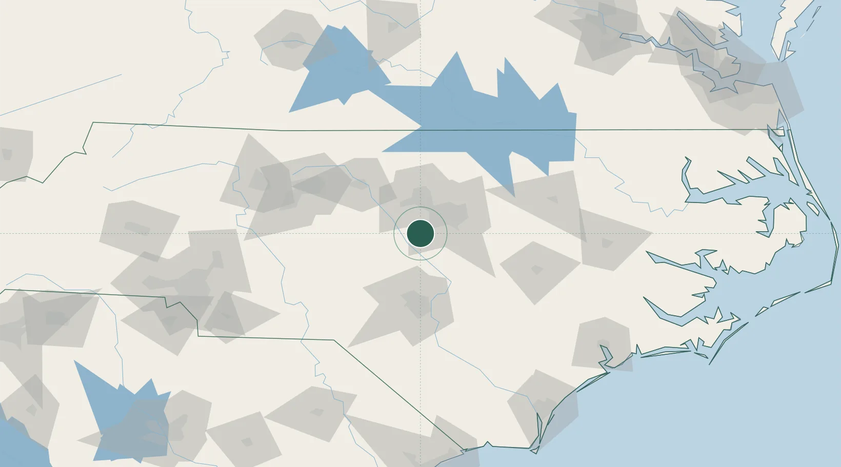
Nearby Logistics Neighbours

Cities
  1. 1Morrisville18 km
  2. 2Pittsboro21 km
  3. 3Research Triangle Park25 km
  4. 4Carrboro29 km
  5. 5Garner30 km
Nearest neighbours — logibook spatial index (haversine) over the source coordinates
Ports
  1. 1Washington171 km
  2. 2New Bern183 km
  3. 3Wilmington185 km
  4. 4Wrightsville192 km
  5. 5Plymouth198 km
Nearest neighbours — logibook spatial index (haversine) over the source coordinates
Airports
  1. 1Raleigh-Durham International Airport25 km
  2. 2Johnston Regional Airport52 km
  3. 3Pope Field58 km
  4. 4Simmons Army Air Field61 km
  5. 5Fayetteville Regional Airport - Grannis Field77 km
Nearest neighbours — logibook spatial index (haversine) over the source coordinates
Trade Zones
  1. 1FTZ No. 093 Raleigh Durham25 km
  2. 2FTZ No. 214 Lenoir County108 km
  3. 3FTZ No. 230 Piedmont Triad Area123 km
  4. 4FTZ No. 057 Mecklenburg County200 km
  5. 5FTZ No. 238 Dublin223 km
Nearest neighbours — logibook spatial index (haversine) over the source coordinates
DatabookThe Record of Consolidated Knowledge
United States beyond logistics?
Browse databook

All Sources

LocationsUN/LOCODE
UN/LOCODE — free
Portsthe NGA World Port Index
Public domain (US gov)
AirportsOurAirports
Public domain
Trade Zonesthe World Bank SEZ database
CC BY 4.0
Trade ZonesOpen Zone Map
CC BY
← United States locations