Medium airport · Canada

Chris Hadfield AirportCYZR
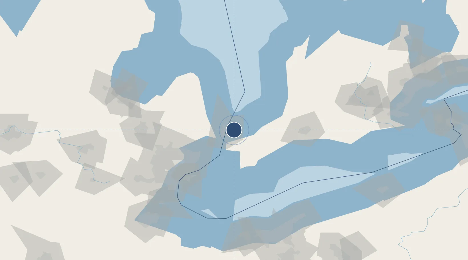
42.9994°, -82.3089°
5,100 ft
Longest runway
2
Runways
594 ft
Elevation

Runway & Layout

Chris Hadfield Airport runway & taxiway layout
Runway & taxiway layout — OpenStreetMap (ODbL) / OurAirports

Radio Frequencies

AWOS
118.375 MHz
ATF
123 MHz
CNTR
134.375 MHz
TORONTO CNTR
RDO
126.7 MHz
LONDON RDO
OurAirports

Runways · 2

RunwayDimensions SurfaceTrue headingLit
15/33 5,100 × 100ft Asphalt 137°
06/24 2,989 × 75ft Asphalt 049°
OurAirports

Airport Specifications

IATA code
YZR
OurAirports
ICAO code
CYZR
OurAirports
Airport class
Medium airport
OurAirports
Scheduled service
No
OurAirports
Runway surface
Asphalt
OurAirports
Served city
Sarnia
OurAirports

Location

Location of CYZR
Natural Earth 10m (public domain) · Ontario · CYZR · 43.00, -82.31GoogleOSMYandex

Nearby Logistics Neighbours

Airports
  1. 1Selfridge Air National Guard Base Airport61 km
  2. 2Centralia / James T. Field Memorial Aerodrome72 km
  3. 3Coleman A. Young Municipal Airport87 km
  4. 4London International Airport94 km
  5. 5Windsor International Airport96 km
Nearest neighbours — logibook spatial index (haversine) over the source coordinates
Cities
  1. 1Point Edward7 km
  2. 2Port Huron10 km
  3. 3Fort Gratiot13 km
  4. 4Wyoming17 km
  5. 5Forest28 km
Nearest neighbours — logibook spatial index (haversine) over the source coordinates
Ports
  1. 1Point Edward9 km
  2. 2Sarnia9 km
  3. 3Port Huron10 km
  4. 4Courtright24 km
  5. 5St Clair25 km
Nearest neighbours — logibook spatial index (haversine) over the source coordinates
Trade Zones
  1. 1FTZ No. 210 St. Clair County26 km
  2. 2Windsor - Essex Foreign Trade Zone96 km
  3. 3FTZ No. 070 Detroit105 km
  4. 4FTZ No. 140 Flint119 km
  5. 5FTZ No. 284 Genesee County135 km
Nearest neighbours — logibook spatial index (haversine) over the source coordinates
DatabookThe Record of Consolidated Knowledge
Canada beyond logistics?
Browse databook

All Sources

AirportsOurAirports
Public domain
Portsthe NGA World Port Index
Public domain (US gov)
LocationsUN/LOCODE
UN/LOCODE — free
Trade Zonesthe World Bank SEZ database
CC BY 4.0
Trade ZonesOpen Zone Map
CC BY
InfrastructureOpenStreetMap
ODbL 1.0
← Canada airports