Transport Functions
Rail
Road
Multimodal
Hub Profile
Place type
Provincial seat
Region
Michigan
Population
8,790
Time zone
America/Detroit
Elevation
262 m
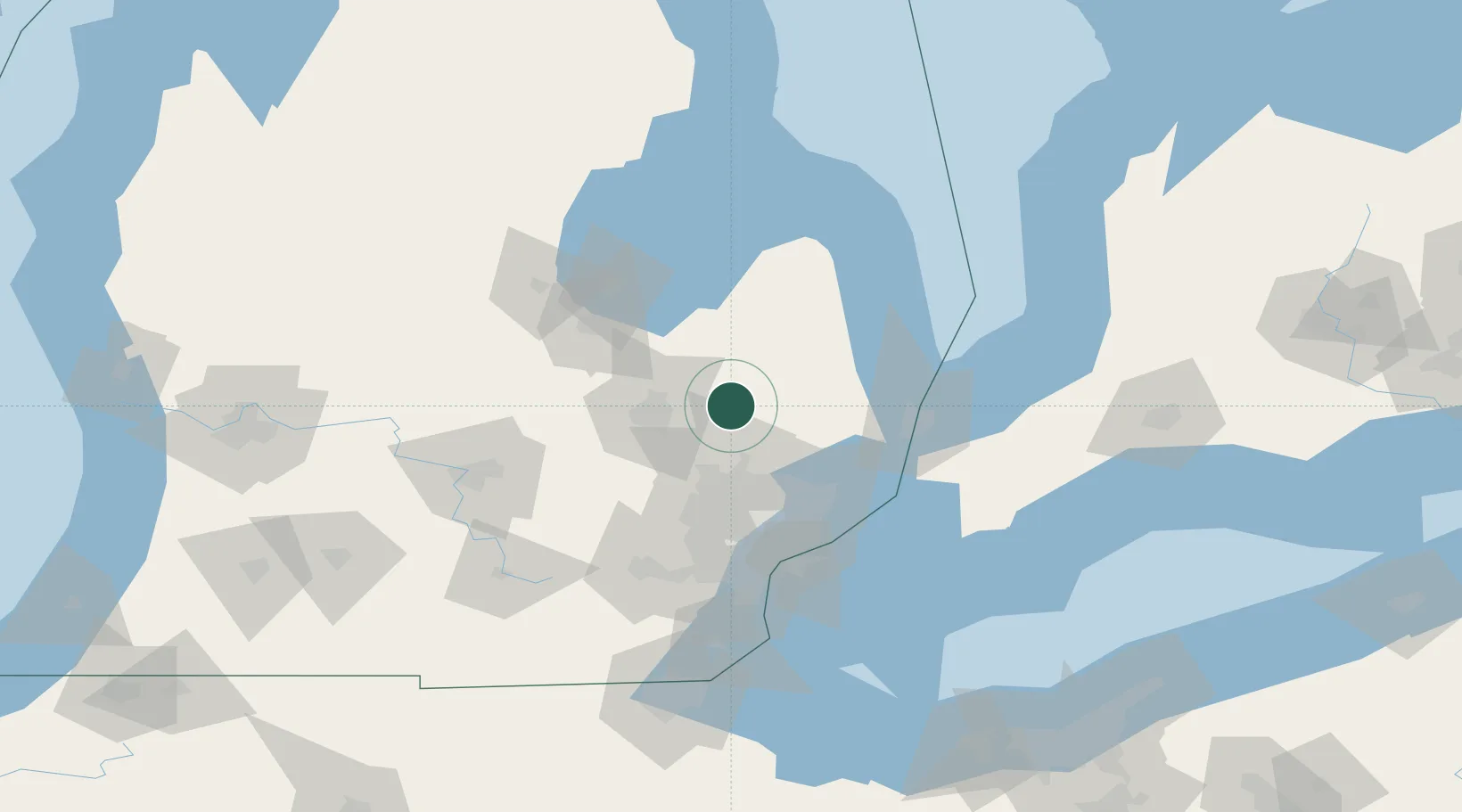
Location
Nearby Logistics Neighbours
Cities
- 1Metamora13 km
- 2Davison17 km
- 3Dryden20 km
- 4Oakwood, Oakland20 km
- 5Oxford26 km
Ports
- 1Saginaw66 km
- 2Port Huron72 km
- 3St Clair73 km
- 4Point Edward73 km
- 5Sarnia74 km
Airports
Trade Zones
DatabookThe Record of Consolidated Knowledge
United States beyond logistics?