UN/LOCODE hub · United States
USHG2
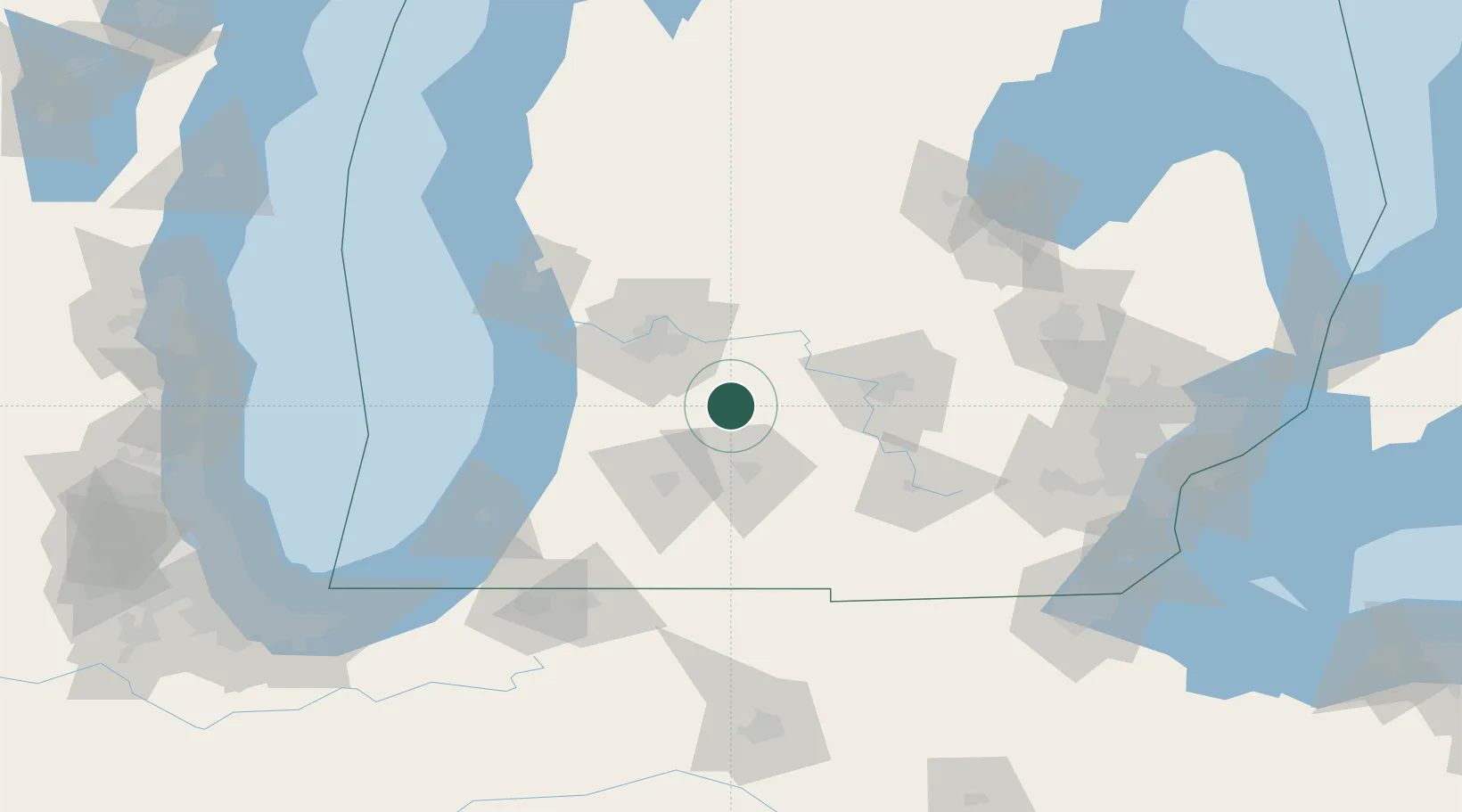
Hastings
42.6333°, -85.2833°
7,284
Population
3
Transport functions
Transport Functions
Port
Rail
Road
Hub Profile
Place type
Provincial seat
Region
Michigan
Population
7,284
Time zone
America/Detroit
Elevation
247 m
Location
Nearby Logistics Neighbours
Ports
- 1Holland71 km
- 2South Haven86 km
- 3Grand Haven91 km
- 4Muskegon104 km
- 5St Joseph114 km
Airports
Trade Zones
DatabookThe Record of Consolidated Knowledge
United States beyond logistics?