UN/LOCODE hub · United States
USCE4
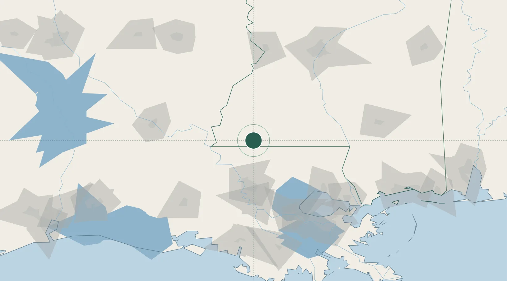
Centreville
31.0833°, -91.0667°
1,560
Population
2
Transport functions
Transport Functions
Road
Multimodal
Hub Profile
Place type
Populated place
Region
Mississippi
Population
1,560
Time zone
America/Chicago
Elevation
117 m
Location
Nearby Logistics Neighbours
Cities
- 1Carville15 km
- 2Clinton27 km
- 3Slaughter41 km
- 4Bluff Creek42 km
- 5Angola50 km
Ports
- 1Baton Rouge71 km
- 2Madisonville116 km
- 3Convent121 km
- 4St. James125 km
- 5Reserve125 km
Airports
Trade Zones
- 1FTZ No. 154 Baton Rouge74 km
- 2FTZ No. 155 Calhoun Victoria Counties74 km
- 3FTZ No. 124 Gramercy119 km
- 4FTZ No. 158 Vicksburg Jackson140 km
- 5FTZ No. 002 New Orleans160 km
DatabookThe Record of Consolidated Knowledge
United States beyond logistics?