UN/LOCODE hub · United States
USMF3
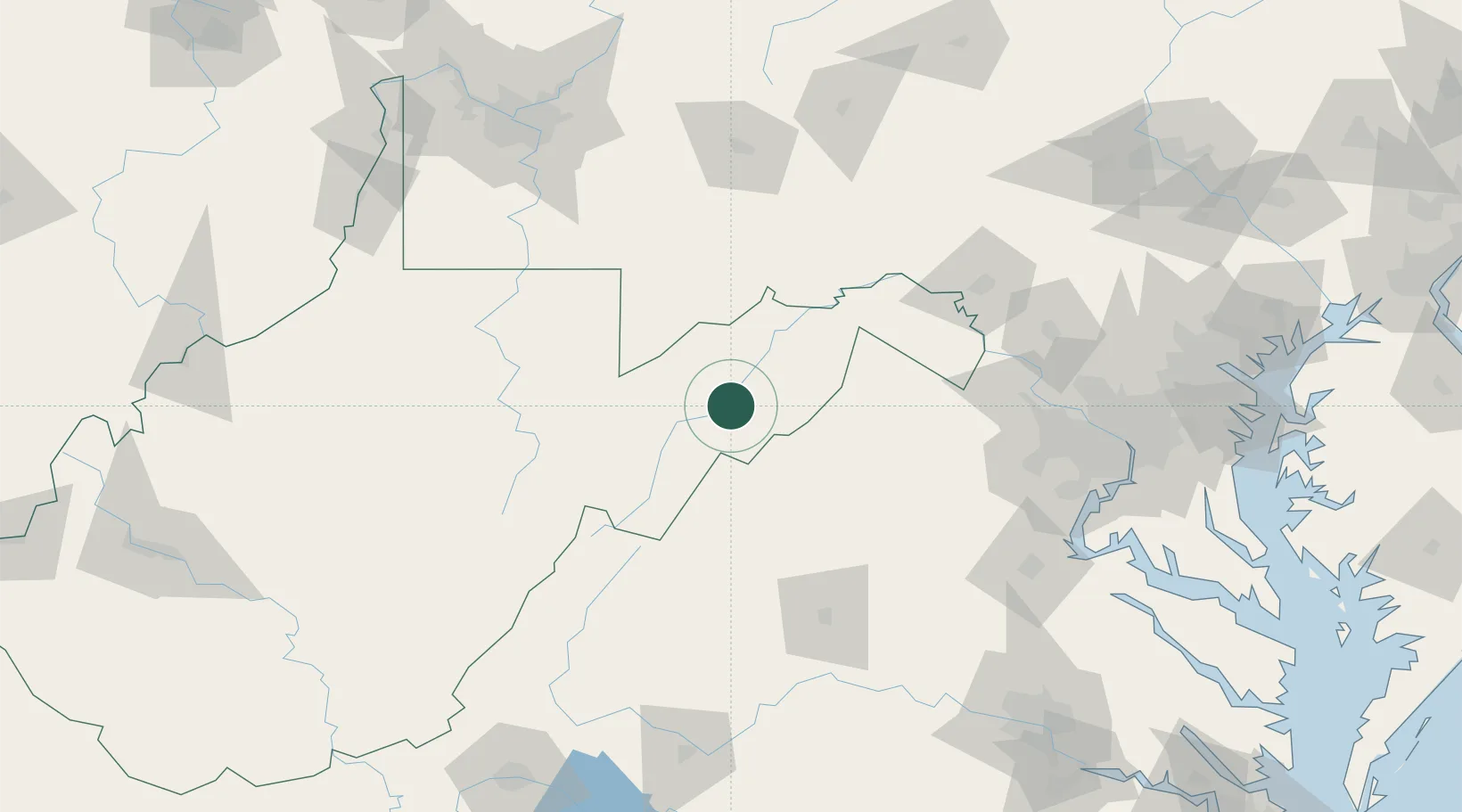
Moorefield
39.0667°, -78.9500°
2,482
Population
2
Transport functions
Transport Functions
Rail
Road
Hub Profile
Place type
Provincial seat
Region
West Virginia
Population
2,482
Time zone
America/New_York
Elevation
247 m
Location
Nearby Logistics Neighbours
Cities
- 1Keyser41 km
- 2Bayard41 km
- 3Thomas48 km
- 4Quicksburg49 km
- 5Deer Park50 km
Ports
- 1Fredericksburg156 km
- 2Washington D.C.167 km
- 3Alexandria168 km
- 4Baltimore205 km
- 5Annapolis213 km
Airports
Trade Zones
DatabookThe Record of Consolidated Knowledge
United States beyond logistics?