UN/LOCODE hub · United States
US3BR
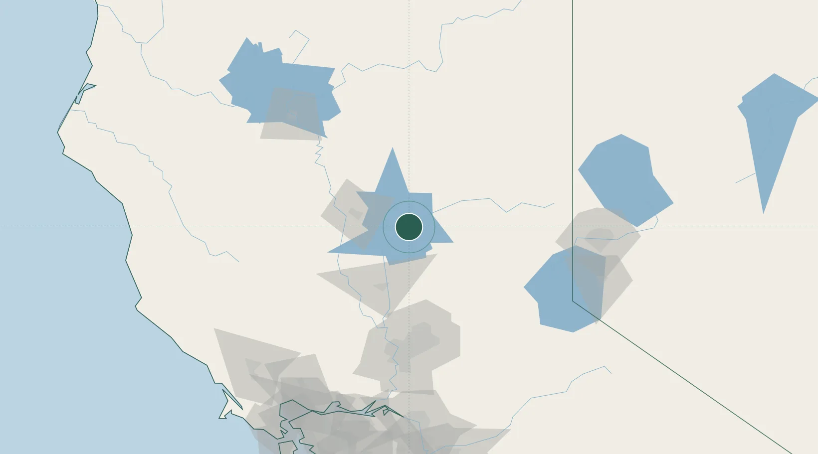
Berry Creek
39.6333°, -121.4000°
1,424
Population
2
Transport functions
Transport Functions
Port
Road
Hub Profile
Place type
Populated place
Region
California
Population
1,424
Time zone
America/Los_Angeles
Elevation
608 m
Location
Nearby Logistics Neighbours
Cities
- 1Nelson33 km
- 2Richvale33 km
- 3Forest Ranch35 km
- 4La Porte36 km
- 5Gridley39 km
Ports
- 1Sacramento117 km
- 2Courtland145 km
- 3Walnut Grove156 km
- 4Isleton164 km
- 5Rio Vista167 km
Airports
- 1Beale Air Force Base55 km
- 2Yuba County Airport61 km
- 3Red Bluff Municipal Airport93 km
- 4Sacramento International Airport106 km
- 5McClellan Airfield107 km
Trade Zones
- 1FTZ No. 143 West Sacramento117 km
- 2FTZ No. 126 Sparks139 km
- 3FTZ No. 231 Stockton187 km
- 4FTZ No. 056 Oakland217 km
- 5FTZ No. 003 San Francisco222 km
DatabookThe Record of Consolidated Knowledge
United States beyond logistics?