UN/LOCODE hub · United States
USEFH
Shepherd
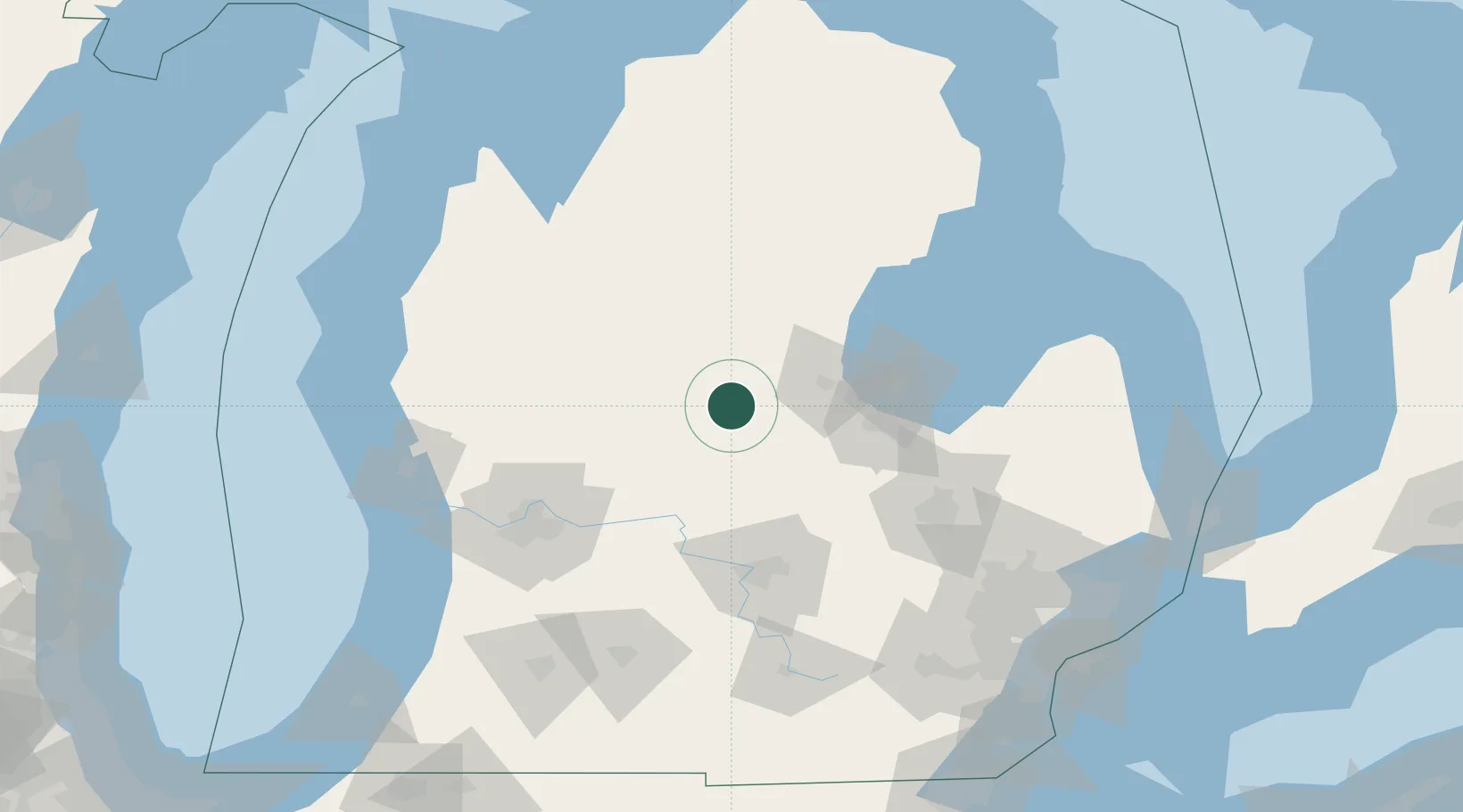
43.5167°, -84.6833°
1,507
Population
2
Transport functions
Transport Functions
Rail
Road
Hub Profile
Place type
Populated place
Region
Michigan
Population
1,507
Time zone
America/Detroit
Elevation
236 m
Location
Nearby Logistics Neighbours
Cities
- 1Wheeler24 km
- 2Cedar Lake26 km
- 3White27 km
- 4Sanford31 km
- 5Edmore31 km
Ports
- 1Saginaw61 km
- 2Bay City67 km
- 3Alabaster117 km
- 4Tawas City126 km
- 5Muskegon132 km
Airports
Trade Zones
DatabookThe Record of Consolidated Knowledge
United States beyond logistics?