UN/LOCODE hub · United States
USXWE
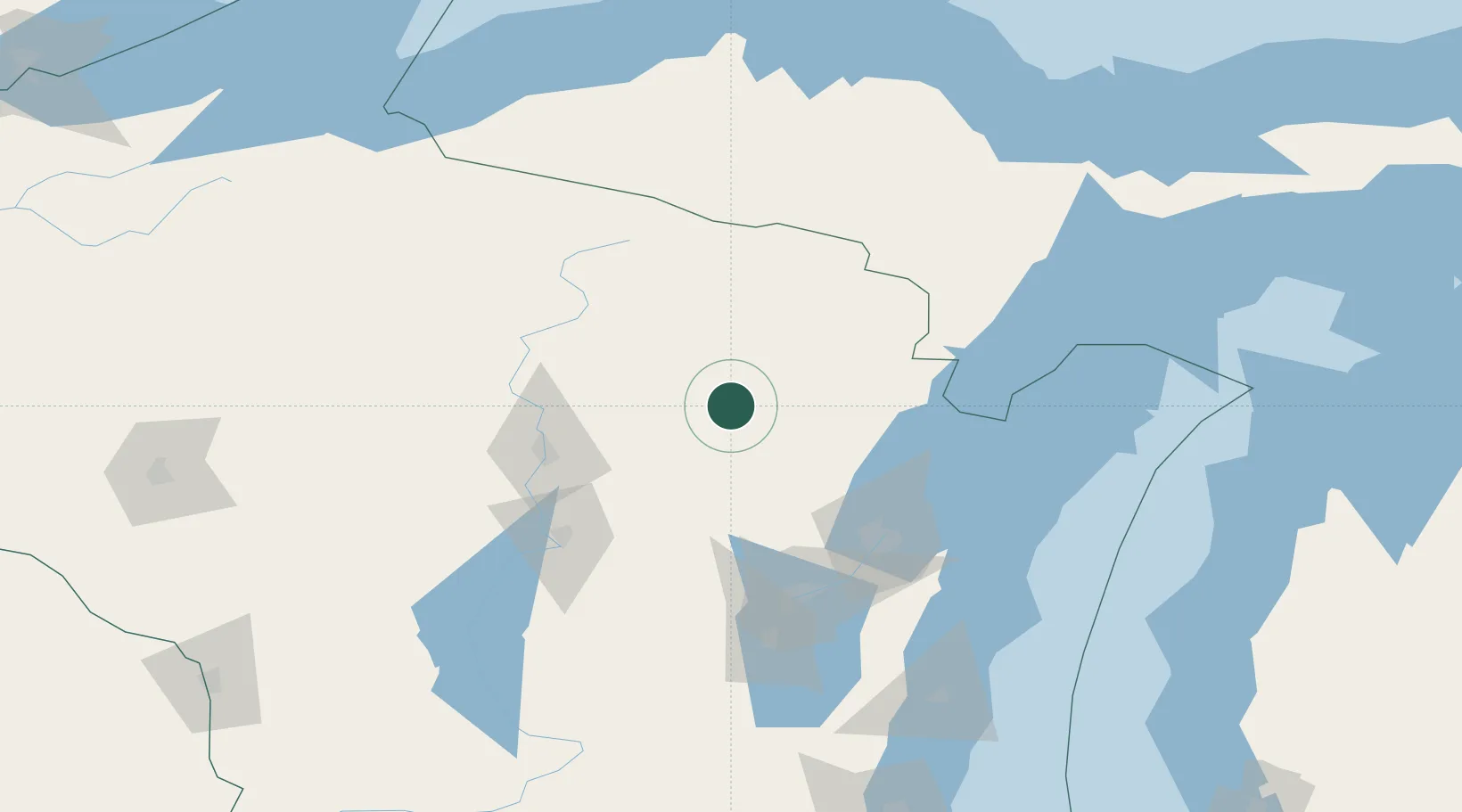
White Lake
45.1500°, -88.7500°
339
Population
4
Transport functions
Transport Functions
Port
Rail
Road
Multimodal
Hub Profile
Place type
Populated place
Region
Wisconsin
Population
339
Time zone
America/Chicago
Elevation
391 m
Location
Nearby Logistics Neighbours
Cities
- 1Bryant22 km
- 2Mountain23 km
- 3Pearson30 km
- 4Bowler37 km
- 5Birnamwood43 km
Airports
Trade Zones
- 1FTZ No. 167 Brown County85 km
- 2FTZ No. 041 Milwaukee238 km
- 3FTZ No. 266 Dane County244 km
- 4FTZ No. 019 Omaha261 km
- 5FTZ No. 189 Kent Ottawa/Muskegon Counties289 km
DatabookThe Record of Consolidated Knowledge
United States beyond logistics?