UN/LOCODE hub · United States
USBH4
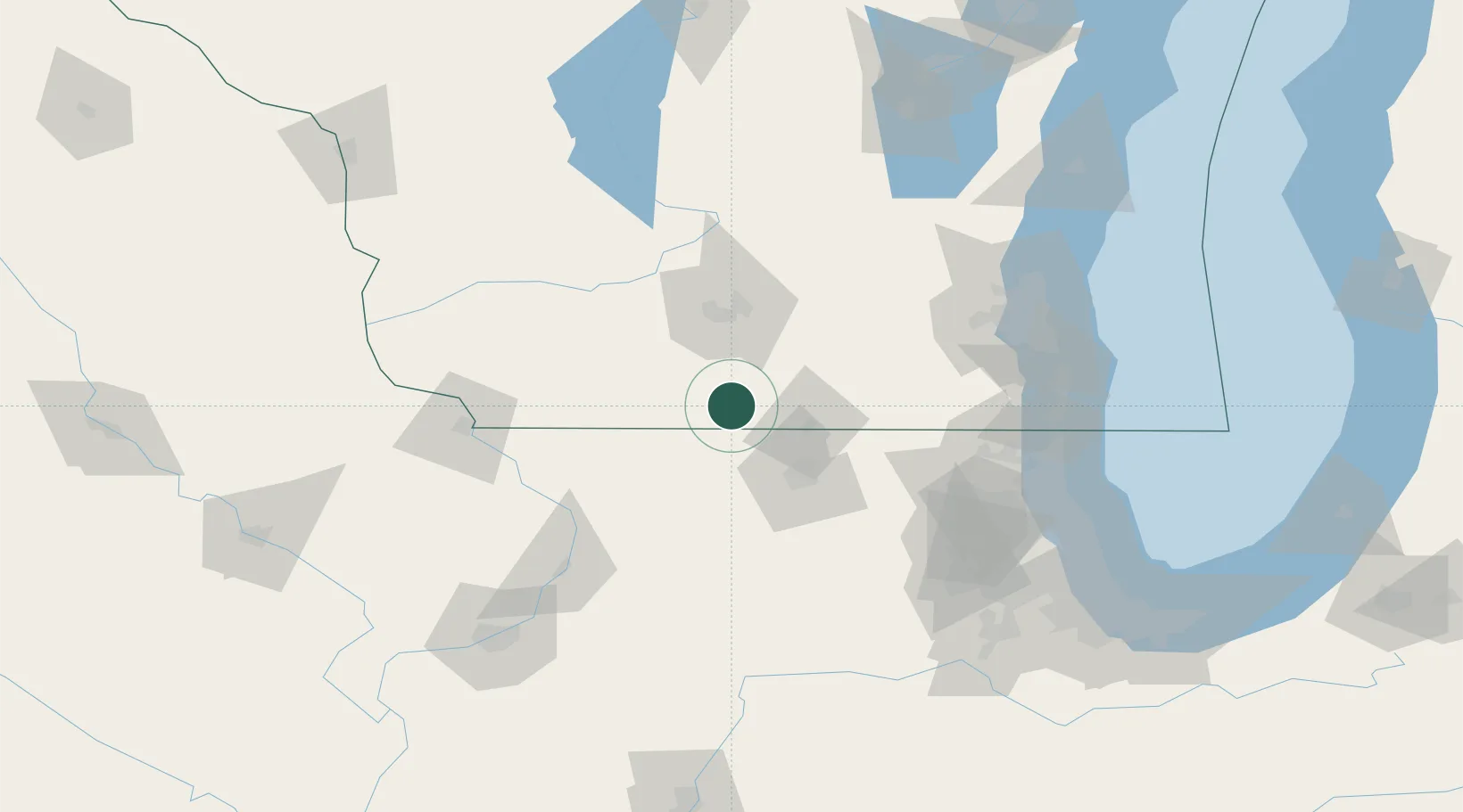
Brodhead
42.6167°, -89.4000°
3,291
Population
3
Transport functions
Transport Functions
Rail
Road
Multimodal
Hub Profile
Place type
Populated place
Region
Wisconsin
Population
3,291
Time zone
America/Chicago
Elevation
242 m
Location
Nearby Logistics Neighbours
Cities
- 1Juda9 km
- 2Evansville19 km
- 3Monticello21 km
- 4Rock City25 km
- 5Brooklyn26 km
Ports
- 1Kenosha130 km
- 2Milwaukee132 km
- 3Waukegan133 km
- 4Racine133 km
- 5Great Lakes133 km
Airports
- 1Chicago Rockford International Airport53 km
- 2Dane County Regional Truax Field58 km
- 3Dubuque Regional Airport110 km
- 4Kenosha Regional Airport121 km
- 5Dupage Airport123 km
Trade Zones
DatabookThe Record of Consolidated Knowledge
United States beyond logistics?