UN/LOCODE hub · United States
USAFZ
Brooklyn
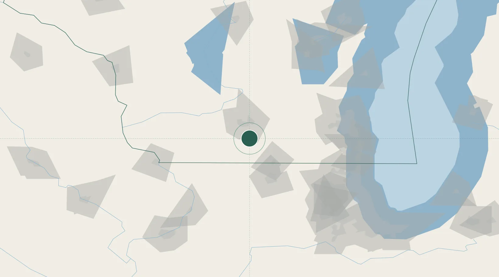
42.8500°, -89.3667°
1,449
Population
3
Transport functions
Transport Functions
Rail
Road
Multimodal
Hub Profile
Place type
Populated place
Region
Wisconsin
Population
1,449
Time zone
America/Chicago
Elevation
299 m
Location
Nearby Logistics Neighbours
Cities
- 1Oregon9 km
- 2Evansville12 km
- 3Belleville14 km
- 4McFarland19 km
- 5Verona20 km
Ports
- 1Milwaukee123 km
- 2Racine130 km
- 3Kenosha130 km
- 4Port Washington135 km
- 5Waukegan138 km
Airports
Trade Zones
DatabookThe Record of Consolidated Knowledge
United States beyond logistics?