UN/LOCODE hub · United States
USESV
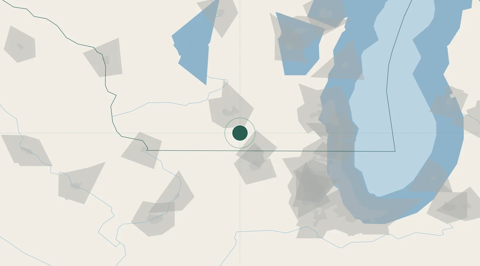
Evansville
42.7667°, -89.2833°
5,228
Population
3
Transport functions
Transport Functions
Rail
Road
Multimodal
Hub Profile
Place type
Populated place
Region
Wisconsin
Population
5,228
Time zone
America/Chicago
Elevation
278 m
Location
Nearby Logistics Neighbours
Cities
- 1Brooklyn12 km
- 2Brodhead19 km
- 3Oregon20 km
- 4Belleville22 km
- 5Monticello25 km
Ports
- 1Milwaukee118 km
- 2Kenosha122 km
- 3Racine123 km
- 4Waukegan128 km
- 5Great Lakes130 km
Airports
Trade Zones
DatabookThe Record of Consolidated Knowledge
United States beyond logistics?