Transport Functions
Multimodal
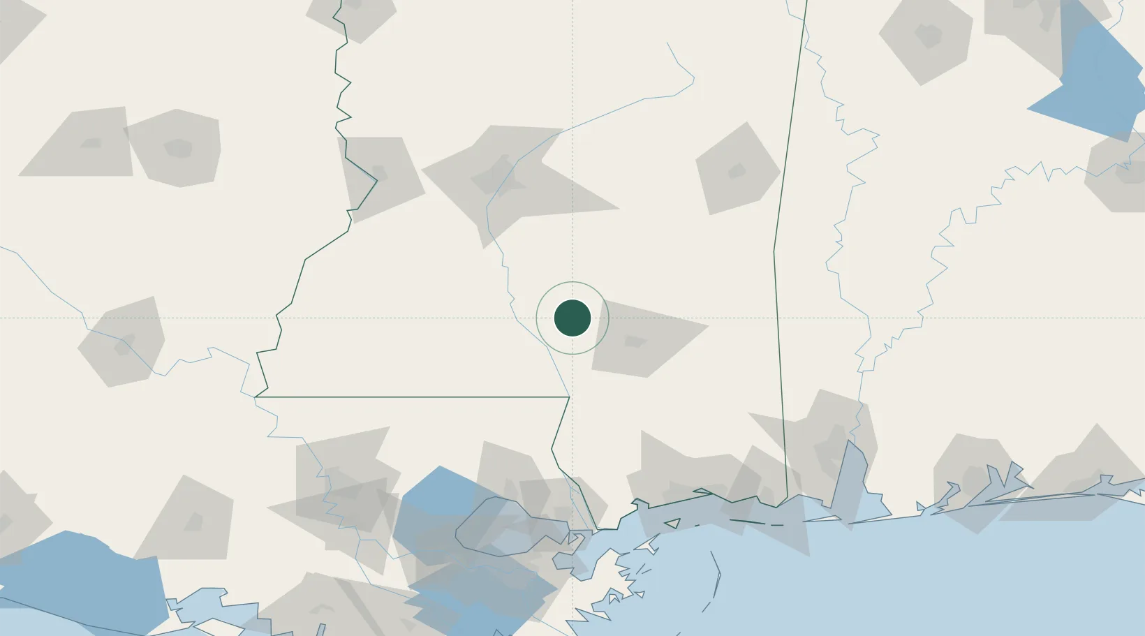
Hub Profile
Place type
Populated place
Region
Mississippi
Population
228
Time zone
America/Chicago
Elevation
139 m
Location
Nearby Logistics Neighbours
Cities
- 1Carson8 km
- 2Sumrall, Lamar19 km
- 3Seminary23 km
- 4Silver Creek28 km
- 5Magee43 km
Ports
- 1Madisonville127 km
- 2Slidell135 km
- 3Gulfport140 km
- 4Biloxi146 km
- 5Pascagoula167 km
Airports
Trade Zones
- 1FTZ No. 158 Vicksburg Jackson137 km
- 2FTZ No. 092 Harrison County138 km
- 3FTZ No. 002 New Orleans175 km
- 4FTZ No. 082 Mobile178 km
- 5FTZ No. 124 Gramercy185 km
DatabookThe Record of Consolidated Knowledge
United States beyond logistics?