Transport Functions
Rail
Road
Hub Profile
Place type
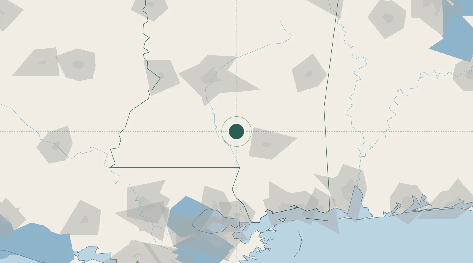
Populated place
Region
Mississippi
Time zone
America/Chicago
Elevation
153 m
Location
Nearby Logistics Neighbours
Cities
- 1Bassfield8 km
- 2Silver Creek20 km
- 3Sumrall, Lamar27 km
- 4Seminary27 km
- 5Magee37 km
Ports
- 1Madisonville131 km
- 2Slidell141 km
- 3Gulfport148 km
- 4Biloxi154 km
- 5Pascagoula175 km
Airports
Trade Zones
- 1FTZ No. 158 Vicksburg Jackson129 km
- 2FTZ No. 092 Harrison County147 km
- 3FTZ No. 002 New Orleans180 km
- 4FTZ No. 154 Baton Rouge185 km
- 5FTZ No. 155 Calhoun Victoria Counties185 km
DatabookThe Record of Consolidated Knowledge
United States beyond logistics?